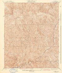
1942 Map of Mt. Gleason
USGS Topo · Published 1942About this map
Mt. Gleason stands as the high point of this 1942 survey, featuring a prominent Lookout and the high-elevation camp at Messenger Flats. Published by the U.S. Geological Survey and based on fieldwork by C.A. Ecklund, the map documents a transition in mountain access within the Angeles National Forest. The Angeles Crest Highway winds through the southeastern portion of the sheet, providing a modern artery through the steep drainage systems of Big Tujunga Canyon and Mill Creek.
Find a feature on this map
26 named features on this map. Tap any name to fly to it.
Don’t see what you’re looking for? This feature index may not catch every label — zoom into the map to look around manually.
Map Details
Editions of this 1942 Mt. Gleason Map
4 editions found
Other maps of this area

1900 · Tujunga
USGS Topo · 1:62,500

1901 · Southern California Sheet No. 1
USGS Topo · 1:250,000

1904 · Southern California Sheet No. 1
USGS Topo · 1:250,000
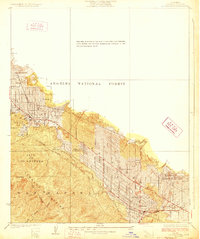
1928 · La Crescenta
USGS Topo · 1:24,000

1930 · Ravenna
USGS Topo · 1:24,000
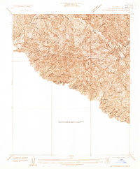
1933 · La Crescenta
USGS Topo · 1:24,000
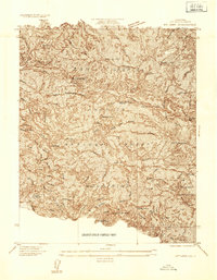
1934 · Mt. Lowe
USGS Topo · 1:24,000
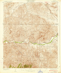
1934 · Ravenna
USGS Topo · 1:24,000
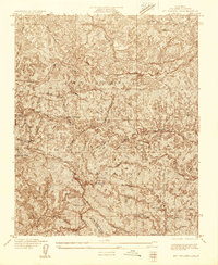
1934 · Mt. Wilson
USGS Topo · 1:24,000
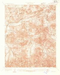
1934 · Acton
USGS Topo · 1:24,000