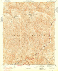
1942 Map of Mt. Gleason
USGS Topo · Published 1948About this map
Mt. Gleason towers over this section of the San Gabriel Mountains, serving as a high-elevation lookout point for the surrounding Angeles National Forest. In this mid-century period, the landscape is defined by the critical management of water and timber resources, evidenced by the Little Gleason Forestry Plantation and the presence of numerous springs and named water sources. The rugged interior is accessible via the Angeles Forest Highway and fire management infrastructure like the prominent firebreak systems carved into the ridges.
Find a feature on this map
32 named features on this map. Tap any name to fly to it.
Don’t see what you’re looking for? This feature index may not catch every label — zoom into the map to look around manually.
Map Details
Editions of this 1942 Mt. Gleason Map
4 editions found
Other maps of this area

1900 · Tujunga
USGS Topo · 1:62,500

1901 · Southern California Sheet No. 1
USGS Topo · 1:250,000

1904 · Southern California Sheet No. 1
USGS Topo · 1:250,000
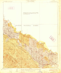
1928 · La Crescenta
USGS Topo · 1:24,000

1930 · Ravenna
USGS Topo · 1:24,000
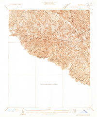
1933 · La Crescenta
USGS Topo · 1:24,000
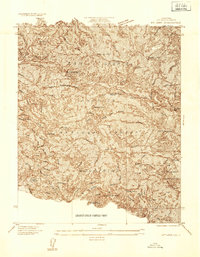
1934 · Mt. Lowe
USGS Topo · 1:24,000
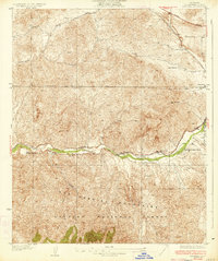
1934 · Ravenna
USGS Topo · 1:24,000
1934 · Mt. Wilson
USGS Topo · 1:24,000
1934 · Acton
USGS Topo · 1:24,000