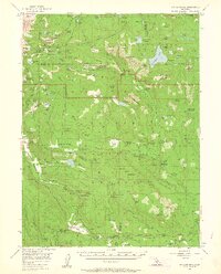
1956 Map of Mt. Harkness
USGS Topo · Published 1961About this map
Lassen Volcanic National Park dominates the northern reaches of this mid-century survey, showcasing a geothermal landscape where Boiling Springs Lake and the active vents of Bumpass Hell meet high-altitude waters like Juniper Lake and Summit Lake. The map reveals a specialized recreation and ranching economy, from the established resort atmosphere at Drakesbad and Warner Valley Springs to the more utilitarian Stump Ranch and Feather River Rod & Gun Club.
Find a feature on this map
152 named features on this map. Tap any name to fly to it.
Don’t see what you’re looking for? This feature index may not catch every label — zoom into the map to look around manually.
Map Details
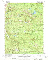
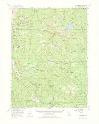
Editions of this 1956 Mt. Harkness Map
4 editions found

Other maps of this area

1886 · Lassen Peak
USGS Topo · 1:250,000

1892 · Lassen Peak
USGS Topo · 1:250,000

1894 · Lassen Peak
USGS Topo · 1:250,000

1935 · Burney
USGS Topo · 1:96,000

1935 · Paynes Creek
USGS Topo · 1:96,000

1939 · Burney
USGS Topo · 1:125,000

1939 · Halls Flat
USGS Topo · 1:125,000

1941 · Mineral
USGS Topo · 1:125,000

1955 · Almanor
USGS Topo · 1:62,500

1955 · Westwood
USGS Topo · 1:250,000