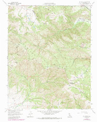
1968 Map of Mt. Harlan
USGS Topo · Published 1984About this map
The San Andreas Rift Zone cuts across the northeastern corner of this terrain, marking the profound geological boundary that shapes the Gabilan Range. This late-1960s survey, updated in the early 1980s, reveals a landscape dominated by high ridges and deep drainages like Pescadero Creek and Long Gulch. Human presence is sparse and concentrated around resource extraction and cattle ranching, indicated by several quarries and the remote Thompson Cabin located south of Round Spring Valley.
Find a feature on this map
33 named features on this map. Tap any name to fly to it.
Don’t see what you’re looking for? This feature index may not catch every label — zoom into the map to look around manually.
Map Details
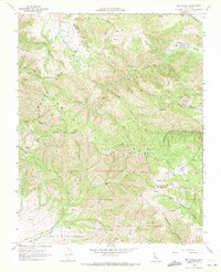
Editions of this 1968 Mt. Harlan Map
2 editions found
Other maps of this area

1910 · Gonzales
USGS Topo · 1:31,680

1910 · Salinas
USGS Topo · 1:31,680

1912 · Salinas
USGS Topo · 1:62,500

1915 · San Juan Bautista
USGS Topo · 1:48,000

1917 · San Juan Bautista
USGS Topo · 1:62,500

1919 · Hollister
USGS Topo · 1:48,000

1921 · Gonzales
USGS Topo · 1:62,500

1921 · Hollister
USGS Topo · 1:62,500

1923 · Hollister
USGS Topo · 1:62,500

1939 · San Juan Bautista
USGS Topo · 1:62,500