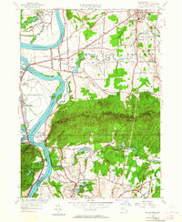
1947 Map of Mt Holyoke
USGS Topo · Published 1964About this map
The Connecticut River carves a dramatic path through this 1947 revision of the Pioneer Valley, defined by the prominent ridge of the Holyoke Range. The landscape transitions from the fertile lowlands of Hadley and Hatfield to the steep elevations of Mt Holyoke and Mt Norwottock. This survey documents a critical period for the region's educational and conservation history, showing the established campuses of Amherst College and Mt Holyoke College, alongside protected lands such as Joseph Allen Skinner State Park and the Mt Tom State Reservation. Transportation networks are well-defined, with the Boston and Maine and Central Vermont railroads supporting the area's agricultural and industrial hubs like Aldrich Mills and South Hadley. Notable water features include the distinctive Oxbow and the winding Fort River, illustrating the complex hydrology of the Massachusetts interior.
Find a feature on this map
85 named features on this map. Tap any name to fly to it.
Don’t see what you’re looking for? This feature index may not catch every label — zoom into the map to look around manually.
Map Details
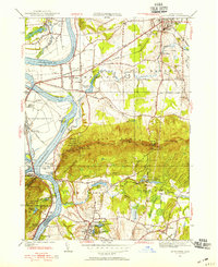
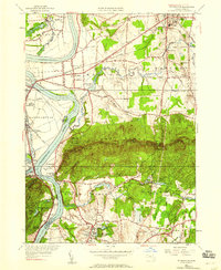
Editions of this 1947 Mt Holyoke Map
3 editions found
Other maps of this area

1885 · Northampton
USGS Topo · 1:62,500

1886 · Springfield
USGS Topo · 1:62,500

1886 · Northampton
USGS Topo · 1:62,500

1887 · Palmer
USGS Topo · 1:62,500

1887 · Belchertown
USGS Topo · 1:62,500

1889 · Springfield
USGS Topo · 1:62,500

1889 · Palmer
USGS Topo · 1:62,500

1890 · Belchertown
USGS Topo · 1:62,500

1891 · Northampton
USGS Topo · 1:62,500

1893 · Northampton
USGS Topo · 1:62,500