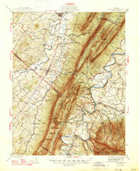
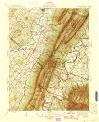
1947 Map of Mt Jackson
USGS Topo · Published 1947About this map
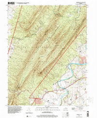
Massanutten Mountain dominates the landscape of the Shenandoah Valley in the early 1940s, separating the North Fork and South Fork Shenandoah River. This survey captures the valley's established agrarian and industrial character, from the historic Catherine Furnace and the Massanutten Power Plant to the winding corridors of the Southern Railway and the Lee Highway. The map reveals a dense network of local landmarks, including the tourist draws of Shenandoah Caverns and Endless Caverns, alongside numerous country schools like Kipps Sch and Soliloquy Sch.
Find a feature on this map
86 named features on this map. Tap any name to fly to it.
Don’t see what you’re looking for? This feature index may not catch every label — zoom into the map to look around manually.
Map Details
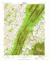
Editions of this 1947 Mt Jackson Map
2 editions found

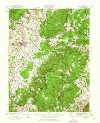
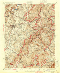
Historical Maps of Luray Through Time
11 maps found
1929 Stony Man
Page County, VA
1933 Stony Man
Page County, VA
1942 Mt. Jackson
Page County, VA
1946 Mt Jackson
Page County, VA
1947 Mt Jackson
Page County, VA
1965 Big Meadows
Page County, VA
1967 Hamburg
Page County, VA
1994 Big Meadows
Page County, VA
1997 Hamburg
Page County, VA
2022 Big Meadows
Page County, VA
2022 Hamburg
Page County, VA