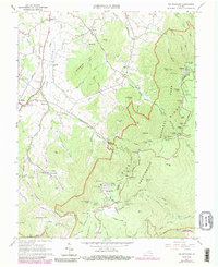
1965 Map of Big Meadows
USGS Topo · Published 1989About this map
Shenandoah National Park dominates the eastern half of this 1965 survey, where the winding path of Skyline Drive follows the crest of the Blue Ridge. High-elevation recreation centers like Skyland and Big Meadows are clearly established, featuring the Byrd Visitor Center and Big Meadows Campground. The rugged interior is crisscrossed by the Appalachian Trail and specialized paths such as the White Oak Canyon Trail and Limberlost Trail, highlighting the area's transition into a protected wilderness during the mid-20th century.
Find a feature on this map
88 named features on this map. Tap any name to fly to it.
Don’t see what you’re looking for? This feature index may not catch every label — zoom into the map to look around manually.
Map Details
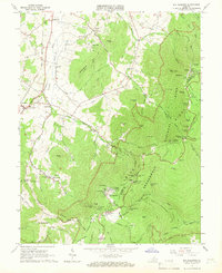
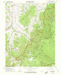
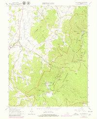
Editions of this 1965 Big Meadows Map
4 editions found
Other maps of this area

1892 · Woodstock
USGS Topo · 1:125,000

1892 · Gordonsville
USGS Topo · 1:125,000

1892 · Harrisonburg
USGS Topo · 1:125,000

1893 · Luray
USGS Topo · 1:125,000

1905 · Luray
USGS Topo · 1:125,000

1929 · Stony Man
USGS Topo · 1:48,000

1930 · Madison
USGS Topo · 1:48,000

1933 · Stony Man
USGS Topo · 1:62,500

1933 · Madison
USGS Topo · 1:62,500

1937 · Elkton
USGS Topo · 1:62,500