1970 Map of Mt. Manchester
USGS Topo · Published 1983About this map
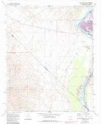
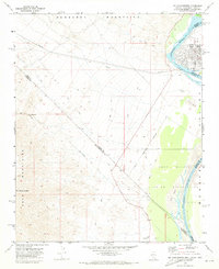
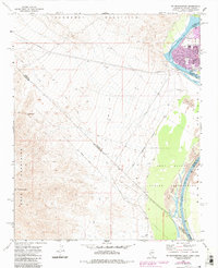
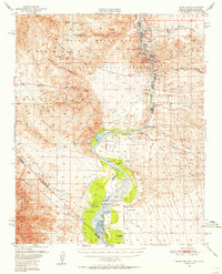
The Colorado River serves as the focal point for this 1970s era survey, marking the intersection of three states at a time of growing development along its banks. The map documents the northern reaches of the Fort Mojave Indian Reservation and the expanding footprints of Riviera and Bullhead City on the Arizona side. High above the river valley, the terrain is dominated by the Newberry Mountains and the Dead Mountains, with the prominent peak of Mt Manchester rising in the southwest. A notable historical boundary, the Von Schmidt Line, cuts across the desert landscape, representing the original 1872 survey of the California-Nevada border. Evidence of early human history is recorded with a site of Petroglyphs near the mountains, while modern infrastructure like Pipelines and a Gaging Station illustrate the river's management for the surrounding arid region.
Find a feature on this map
27 named features on this map. Tap any name to fly to it.
Don’t see what you’re looking for? This feature index may not catch every label — zoom into the map to look around manually.
Map Details
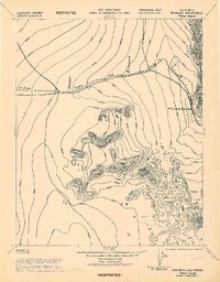
Editions of this 1970 Mt. Manchester Map
Other maps of this area

1886 · Camp Mohave
USGS Topo · 1:250,000

1892 · Camp Mohave
USGS Topo · 1:250,000

1903 · Needles
USGS Topo · 1:125,000

1904 · Needles Special
USGS Topo · 1:125,000

1926 · Mohave City
USGS Topo · 1:96,000

1942 · Camp Mohave
USGS Topo · 1:250,000
1943 · Bannock
USGS Topo · 1:62,500

1947 · Kingman
USGS Topo · 1:250,000

1948 · Kingman
USGS Topo · 1:250,000
1950 · Davis Dam
USGS Topo · 1:62,500