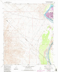
1970 Map of Mt. Manchester
USGS Topo · Published 1983About this map
The Colorado River carves a critical boundary through this desert landscape where California, Nevada, and Arizona converge. The 1970s era is marked by emerging development in Riviera, where a Drive-in Theater and residential blocks sit near the riverbanks. This map documents a complex intersection of historic and modern markers, including the Von Schmidt Line and the extensive Fort Mojave Indian Reservation lands.
Find a feature on this map
24 named features on this map. Tap any name to fly to it.
Don’t see what you’re looking for? This feature index may not catch every label — zoom into the map to look around manually.
Map Details
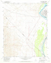
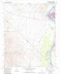
Editions of this 1970 Mt. Manchester Map
Other maps of this area

1886 · Camp Mohave
USGS Topo · 1:250,000

1892 · Camp Mohave
USGS Topo · 1:250,000

1903 · Needles
USGS Topo · 1:125,000

1904 · Needles Special
USGS Topo · 1:125,000

1926 · Mohave City
USGS Topo · 1:96,000

1942 · Camp Mohave
USGS Topo · 1:250,000

1943 · Bannock
USGS Topo · 1:62,500

1947 · Kingman
USGS Topo · 1:250,000

1948 · Kingman
USGS Topo · 1:250,000

1950 · Davis Dam
USGS Topo · 1:62,500