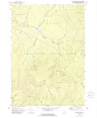
1967 Map of Mt. Moosilauke
USGS Topo · Published 1989About this map
Mt Moosilauke and the surrounding high peaks of the White Mountain National Forest dominate this mid-century topographic survey. The landscape is defined by its deep drainages and sharp ridgelines, where the Appalachian Trail winds its way across Kinsman Notch and past the dramatic Jobildunk Ravine. The small settlement at Wildwood serves as a lone pocket of human activity along the Wild Ammonoosuc River, which cuts through the northern portion of the map.
Find a feature on this map
48 named features on this map. Tap any name to fly to it.
Don’t see what you’re looking for? This feature index may not catch every label — zoom into the map to look around manually.
Map Details
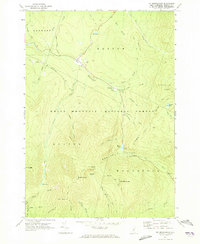
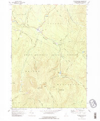
Editions of this 1967 Mt. Moosilauke Map
3 editions found
Other maps of this area

1928 · Plymouth
USGS Topo · 1:62,500

1928 · Rumney
USGS Topo · 1:62,500

1929 · Moosilauke
USGS Topo · 1:62,500

1929 · Franconia
USGS Topo · 1:62,500

1931 · Plymouth
USGS Topo · 1:62,500

1932 · Franconia
USGS Topo · 1:62,500

1932 · Rumney
USGS Topo · 1:62,500

1932 · Moosilauke
USGS Topo · 1:62,500

1949 · Portland
USGS Topo · 1:250,000

1950 · Lewiston
USGS Topo · 1:250,000