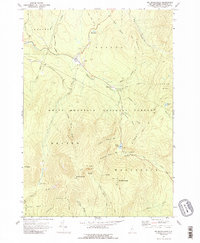
1967 Map of Mt. Moosilauke
USGS Topo · Published 1989About this map
Mt Moosilauke anchors this portion of the White Mountain National Forest during the late 1960s, serving as a hub for a network of historical hiking paths and timber-access routes. The map documents the high-elevation terrain of the Benton and Woodstock border, including the Jobildunk Ravine and South Peak. The Appalachian Trail is shown winding through the mountains, crossing paths with the Moosilauke Carriage Rd and the Benton Trail.
Find a feature on this map
47 named features on this map. Tap any name to fly to it.
Don’t see what you’re looking for? This feature index may not catch every label — zoom into the map to look around manually.
Map Details
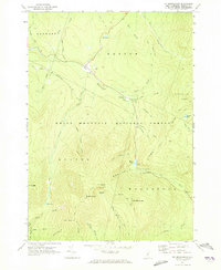
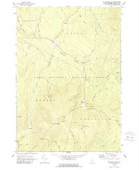
Editions of this 1967 Mt. Moosilauke Map
3 editions found
Other maps of this area

1928 · Plymouth
USGS Topo · 1:62,500

1928 · Rumney
USGS Topo · 1:62,500

1929 · Moosilauke
USGS Topo · 1:62,500

1929 · Franconia
USGS Topo · 1:62,500

1931 · Plymouth
USGS Topo · 1:62,500

1932 · Franconia
USGS Topo · 1:62,500

1932 · Rumney
USGS Topo · 1:62,500

1932 · Moosilauke
USGS Topo · 1:62,500

1949 · Portland
USGS Topo · 1:250,000

1950 · Lewiston
USGS Topo · 1:250,000