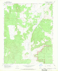
1967 Map of Mt. Trumbull NE
USGS Topo · Published 1970About this map
Toroweap Valley dominates this high-altitude landscape, carved between the Uinkaret Plateau and the Kanab Plateau. This 1967 survey captures a remote section of the Arizona Strip, where the northern reaches of the Grand Canyon National Monument meet the Kaibab National Forest. Evidence of volcanic activity is present at the Cinder Pit on the western slopes of the Uinkaret Mts, while human activity is sparse, marked primarily by the Graham Ranch and water sources like Witch Pool. The dramatic verticality of the region is defined by the Toroweap Cliffs and the rugged descent into Broad Canyon. This map provides a detailed view of the transition from wooded forest to arid canyonlands before significant modern infrastructure reached these plateaus.
Find a feature on this map
14 named features on this map. Tap any name to fly to it.
Don’t see what you’re looking for? This feature index may not catch every label — zoom into the map to look around manually.
Map Details
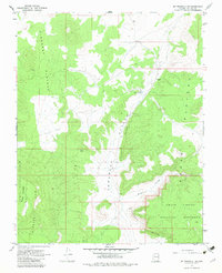
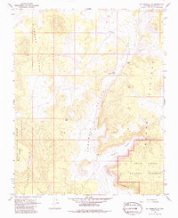
Editions of this 1967 Mt. Trumbull NE Map
Other maps of this area

1886 · Mt. Trumbull
USGS Topo · 1:250,000

1886 · Kaibab
USGS Topo · 1:250,000

1892 · Mt. Trumbull
USGS Topo · 1:250,000

1953 · Grand Canyon
USGS Topo · 1:250,000

1954 · Heaton Knolls
USGS Topo · 1:62,500

1957 · Grand Canyon
USGS Topo · 1:250,000

1958 · Grand Canyon
USGS Topo · 1:250,000

1960 · Grand Canyon
USGS Topo · 1:250,000

1962 · Tuckup Canyon
USGS Topo · 1:62,500
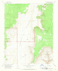
1967 · Mt. Trumbull SE
USGS Topo · 1:24,000