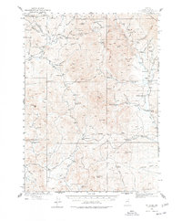
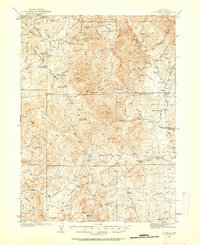
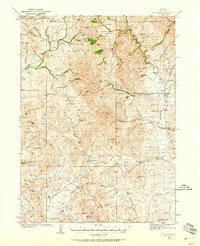
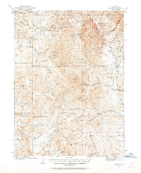
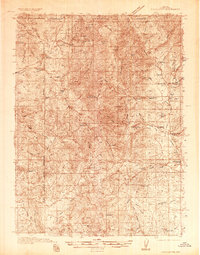
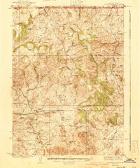
1935 Map of Mt. Velma
USGS Topo · Published 1978About this map
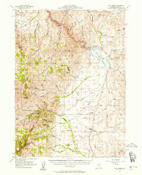
The Bruneau River and the headwaters of the Owyhee River dominate this high-altitude landscape in northeastern Nevada, where cattle ranching and placer mining defined the local economy during the mid-1930s. The settlement of Charleston serves as a focal point near the Bryan Sch, while a network of family-owned ranchsteads like the J M Prunty Ranch and Walker Ranch are scattered along the creek bottoms. The presence of the Mc Knights Placer Mine near the Copper Mts indicates the mineral interest of the era, contrasting with the isolated livestock operations found at Johnson Cabin and Williams Cabin. Mapping by R.R. Monbeck and G.A. Fischer reveals a terrain carved by numerous drainages, including Beaver Creek and Dolly Creek, which flow through the basins between Mt Ichabod and the Rough Hills. This topography illustrates the remote reliance on seasonal water sources and established trails for transit between the remote northern Nevada basins.
Find a feature on this map
78 named features on this map. Tap any name to fly to it.
Don’t see what you’re looking for? This feature index may not catch every label — zoom into the map to look around manually.
Map Details
Editions of this 1935 Mt. Velma Map
5 editions found
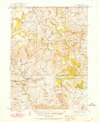
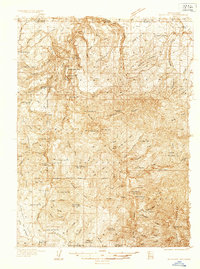
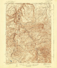
Other maps of this area
1935 · Charleston
USGS Topo · 1:48,000
1936 · Mountain City
USGS Topo · 1:62,500
1936 · Rowland
USGS Topo · 1:48,000
1940 · Rowland
USGS Topo · 1:62,500
1940 · Mountain City
USGS Topo · 1:62,500
1942 · Mt. Velma
USGS Topo · 1:62,500
1943 · Jarbidge
USGS Topo · 1:62,500
1945 · Jarbidge
USGS Topo · 1:62,500

1955 · Wells
USGS Topo · 1:250,000
1956 · Wild Horse
USGS Topo · 1:62,500