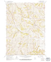
1962 Map of Mt. Vernon
USGS Topo · Published 1991About this map
Mt Vernon and the surrounding townships of Springdale and Primrose reveal a landscape defined by agricultural tradition and topographic interest in the early 1960s. The area is characterized by a network of rural schoolhouses and churches that served as community anchors, including the Britt Valley Sch, Dixon Sch, and the East Blue Mounds Ch. Aviation presence is notable with both the Gonstead Airport near the Mt Horeb corporate boundary and the Mt Vernon Landing Strip.
Find a feature on this map
32 named features on this map. Tap any name to fly to it.
Don’t see what you’re looking for? This feature index may not catch every label — zoom into the map to look around manually.
Map Details
Editions of this 1962 Mt. Vernon Map
2 editions found
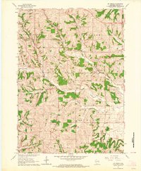
Other maps of this area

1907 · Cross Plains
USGS Topo · 1:62,500

1909 · Cross Plains
USGS Topo · 1:62,500

1920 · Blue Mounds
USGS Topo · 1:62,500

1922 · Blue Mounds
USGS Topo · 1:62,500

1923 · Blanchardville
USGS Topo · 1:62,500

1923 · New Glarus
USGS Topo · 1:62,500

1954 · Rockford
USGS Topo · 1:250,000

1955 · Rockford
USGS Topo · 1:250,000

1957 · Madison
USGS Topo · 1:250,000

1958 · Rockford
USGS Topo · 1:250,000