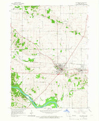
1965 Map of Mt Vernon
USGS Topo · Published 1967About this map
Mt Vernon and the neighboring community of Lisbon serve as the cultural and economic anchors for this mid-1960s Iowa landscape. At the heart of the settlement is the hilltop campus of Cornell College, situated just north of the Chicago and North Western rail line. The presence of Washington Sch and several local institutions indicates a stable, maturing community during the mid-century period.
Find a feature on this map
28 named features on this map. Tap any name to fly to it.
Don’t see what you’re looking for? This feature index may not catch every label — zoom into the map to look around manually.
Map Details
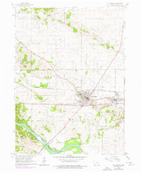
Editions of this 1965 Mt Vernon Map
2 editions found
Other maps of this area

1887 · Cedar Rapids
USGS Topo · 1:62,500

1888 · Marion
USGS Topo · 1:62,500

1889 · Marion
USGS Topo · 1:62,500

1890 · Anamosa
USGS Topo · 1:62,500

1891 · Mechanicsville
USGS Topo · 1:62,500

1891 · Cedar Rapids
USGS Topo · 1:62,500

1894 · Mechanicsville
USGS Topo · 1:62,500

1900 · Anamosa
USGS Topo · 1:125,000

1901 · Stanwood
USGS Topo · 1:125,000

1903 · Fairfax
USGS Topo · 1:125,000