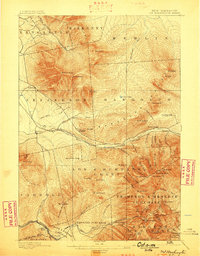
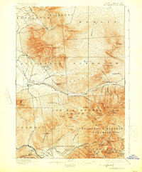
1896 Map of Mt. Washington
USGS Topo · Published 1898About this map
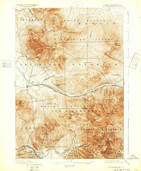
Mt Washington towers over this late nineteenth-century survey, surrounded by the high summits of the Presidential Range and the early hospitality infrastructure of the White Mountains. The landscape is defined by the unique Mt Washington Railroad ascending the western slope, while traditional travel routes like the Glen Road and Lowe Path skirt the base of the peaks. Settlement is concentrated along the valleys of the Israel River and Moose Brook, where established landmarks like the Ravine House and Jefferson Highland served a burgeoning mountain tourism industry.
Find a feature on this map
87 named features on this map. Tap any name to fly to it.
Don’t see what you’re looking for? This feature index may not catch every label — zoom into the map to look around manually.
Map Details
Editions of this 1896 Mt. Washington Map
7 editions found
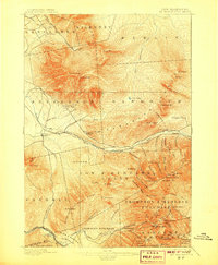
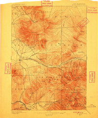
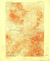
Other maps of this area

1893 · Mt. Washington
USGS Topo · 1:62,500

1893 · Gorham
USGS Topo · 1:62,500

1894 · North Conway
USGS Topo · 1:62,500

1895 · Crawford Notch
USGS Topo · 1:62,500

1896 · Mt. Washington
USGS Topo · 1:62,500

1896 · Crawford Notch
USGS Topo · 1:62,500

1896 · North Conway
USGS Topo · 1:62,500

1896 · Gorham
USGS Topo · 1:62,500

1900 · Whitefield
USGS Topo · 1:62,500

1920 · Guildhall
USGS Topo · 1:62,500