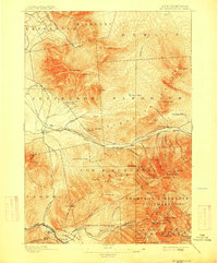
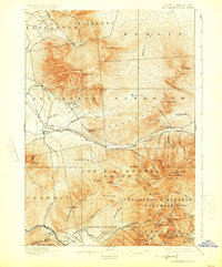
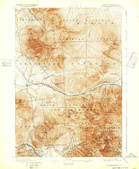
1896 Map of Mt. Washington
USGS Topo · Published 1915About this map
The Mt Washington Cog Railroad climbs the steep western slopes of the Presidential Range, a focal point of this late 19th-century landscape of White Mountain exploration and early tourism. Large seasonal hotels like the Fabyan House and Mt Pleasant House near the Ammonoosuc River served as gateways for Victorian-era travelers arriving via the Boston and Maine and Concord and Montreal railroads. The map captures an era when hiking infrastructure was emerging, noting early routes such as Lowe Path and Air Line Path leading toward the summits of Mt Sam Adams and Mt Madison. Beyond the peaks, the survey records local landmarks like the Pond of Safety and the high-elevation Lakes of the Clouds, alongside the working railroads of the Kilkenny Br that pushed into the northern forests.
Find a feature on this map
92 named features on this map. Tap any name to fly to it.
Don’t see what you’re looking for? This feature index may not catch every label — zoom into the map to look around manually.
Map Details
Editions of this 1896 Mt. Washington Map
7 editions found
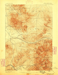
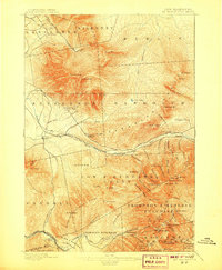
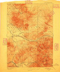
Other maps of this area

1893 · Mt. Washington
USGS Topo · 1:62,500

1893 · Gorham
USGS Topo · 1:62,500

1894 · North Conway
USGS Topo · 1:62,500

1895 · Crawford Notch
USGS Topo · 1:62,500

1896 · Mt. Washington
USGS Topo · 1:62,500

1896 · Crawford Notch
USGS Topo · 1:62,500

1896 · North Conway
USGS Topo · 1:62,500

1896 · Gorham
USGS Topo · 1:62,500

1900 · Whitefield
USGS Topo · 1:62,500

1920 · Guildhall
USGS Topo · 1:62,500