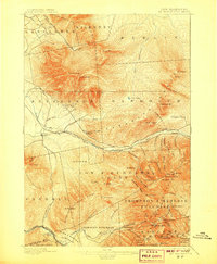
1896 Map of Mt. Washington
USGS Topo · Published 1907About this map
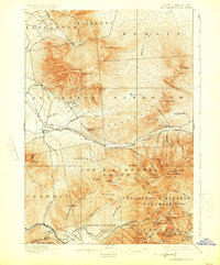
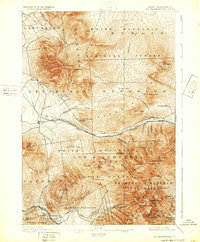
The Presidential Range dominates this landscape, defined by early alpine hospitality and the pioneering Mt Washington Railroad. This era of White Mountain tourism is anchored by famous Victorian-era destinations such as the Fabyan House, Mt Pleasant House, and the Ravine House in Randolph. While hikers utilized the Lowe Path and sought shelter at the AMC Hut, the map also illustrates the massive land grants that shaped the region, including the Thompson & Meserve Purchase and Sargent Purchase. The presence of the Concord and Montreal RR and Boston and Maine RR shows how the rail network brought travelers to these high-altitude resorts and settlements like Jefferson Highland. From the isolated Pond of Safety to the dramatic Ice Gulch, the topography reveals a wilderness being actively organized for recreation and commerce just before the turn of the century.
Find a feature on this map
92 named features on this map. Tap any name to fly to it.
Don’t see what you’re looking for? This feature index may not catch every label — zoom into the map to look around manually.
Map Details
Editions of this 1896 Mt. Washington Map
7 editions found
Other maps of this area

1893 · Mt. Washington
USGS Topo · 1:62,500

1893 · Gorham
USGS Topo · 1:62,500

1894 · North Conway
USGS Topo · 1:62,500

1895 · Crawford Notch
USGS Topo · 1:62,500

1896 · Mt. Washington
USGS Topo · 1:62,500

1896 · Crawford Notch
USGS Topo · 1:62,500

1896 · North Conway
USGS Topo · 1:62,500

1896 · Gorham
USGS Topo · 1:62,500

1900 · Whitefield
USGS Topo · 1:62,500

1920 · Guildhall
USGS Topo · 1:62,500