
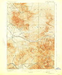
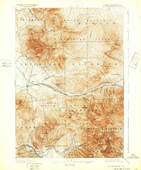
1896 Map of Mt. Washington
USGS Topo · Published 1896About this map
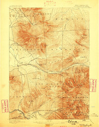
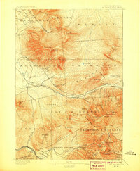
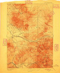
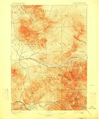
Mt. Washington and the surrounding Presidential Range dominate this 1891 survey, illustrating a landscape defined by early alpine tourism and complex land grants. The presence of the Mt. Washington Railroad and several prominent grand hotels, such as the Fabyan House and Mt. Pleasant House, highlights the region's emergence as a premier 19th-century destination. The map meticulously documents the network of paths used by early hikers, including the Lowe Path and Air Line Path, alongside early landmarks like the AMC Hut and the remote AMC Cabin.
Find a feature on this map
92 named features on this map. Tap any name to fly to it.
Don’t see what you’re looking for? This feature index may not catch every label — zoom into the map to look around manually.
Map Details
Editions of this 1896 Mt. Washington Map
7 editions found
Other maps of this area

1893 · Mt. Washington
USGS Topo · 1:62,500

1893 · Gorham
USGS Topo · 1:62,500

1894 · North Conway
USGS Topo · 1:62,500

1895 · Crawford Notch
USGS Topo · 1:62,500

1896 · Crawford Notch
USGS Topo · 1:62,500

1896 · North Conway
USGS Topo · 1:62,500

1896 · Gorham
USGS Topo · 1:62,500

1900 · Whitefield
USGS Topo · 1:62,500

1920 · Guildhall
USGS Topo · 1:62,500

1929 · Franconia
USGS Topo · 1:62,500