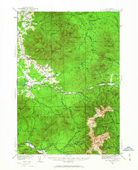
1935 Map of Mt. Washington
USGS Topo · Published 1963About this map
Mt Washington dominates this mid-1930s landscape, serving as the terminus for the iconic Cog RR and the Old Wagon Road leading past the Halfway House. This survey documents a critical period for the White Mountains, where the logging era's legacy—represented by Camp 18 and Camp 19—met a growing recreational infrastructure. The map details an extensive network of footpaths, such as the Crawford Path and Tuckerman Ravine Path, which connect remote shelters like the AMC Hut and the HMC Cabin.
Find a feature on this map
213 named features on this map. Tap any name to fly to it.
Don’t see what you’re looking for? This feature index may not catch every label — zoom into the map to look around manually.
Map Details
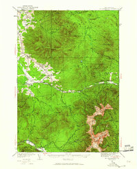
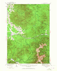
Editions of this 1935 Mt. Washington Map
4 editions found

Other maps of this area

1893 · Mt. Washington
USGS Topo · 1:62,500

1893 · Gorham
USGS Topo · 1:62,500

1894 · North Conway
USGS Topo · 1:62,500

1895 · Crawford Notch
USGS Topo · 1:62,500

1896 · Mt. Washington
USGS Topo · 1:62,500

1896 · Crawford Notch
USGS Topo · 1:62,500

1896 · North Conway
USGS Topo · 1:62,500

1896 · Gorham
USGS Topo · 1:62,500

1900 · Whitefield
USGS Topo · 1:62,500

1920 · Guildhall
USGS Topo · 1:62,500