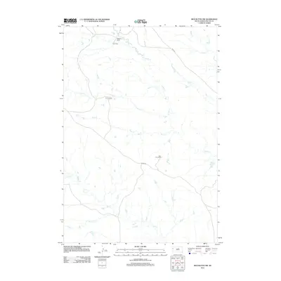
2012 Map of Mud Buttes NW
USGS Topo · Published 2012About this map
Gilger Ranch and the McClure Ranch sit in the sparsely settled grasslands of northwestern South Dakota, where the economy remains rooted in large-scale ranching. The landscape is defined by an intricate network of drainage systems, including Watson Draw and several meandering creeks such as Lonetree Cr and S Indian Cr. These waterways carve subtle paths through the prairie, providing the essential water sources required for livestock in this semi-arid environment. Infrastructure is limited to a few arterial routes like Albion Rd and M D U Rd, which connect remote homesteads like the Mary Larson Ranch to the wider county. The arrangement of these family-named rangelands among the forks of Owl Cr and Big Cr illustrates the enduring cattle-ranching traditions of Butte County into the twenty-first century.
Find a feature on this map
14 named features on this map. Tap any name to fly to it.
Don’t see what you’re looking for? This feature index may not catch every label — zoom into the map to look around manually.
Map Details
Editions of this 2012 Mud Buttes NW Map
This is the sole edition of this map. No revisions or reprints were ever made.
Other maps of this area

1901 · Aladdin
USGS Topo · 1:125,000

1903 · Aladdin
USGS Topo · 1:125,000

1905 · Indian
USGS Topo · 1:62,500

1907 · Belle Fourche
USGS Topo · 1:125,000

1935 · Harding
USGS Topo · 1:125,000

1953 · Rapid City
USGS Topo · 1:250,000

1954 · Lemmon
USGS Topo · 1:250,000

1954 · Ekalaka
USGS Topo · 1:250,000

1954 · Gillette
USGS Topo · 1:250,000

1955 · Gillette
USGS Topo · 1:250,000