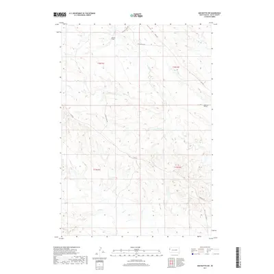
2017 Map of Mud Buttes NW
USGS Topo · Published 2017About this map
Watson Draw and the broad drainage of the Williston Basin define this section of the South Dakota rangeland. This 2017 survey by the U.S. Geological Survey illustrates a landscape shaped by intermittent watercourses and a sparse but essential network of ranching roads. The map captures the hydrological patterns of several tributaries, including Lonetree Cr, Big Cr, and Owl Cr, which carve through the terrain toward larger basins. Named landmarks like Opossum Hollow and local routes such as Yankley Ranch Rd and Albion Rd provide specific geographical context for this part of Butte County. The presence of the MDU Loop and Williston Cutoff Rd highlights the intersection of modern infrastructure with the expansive, low-density pastoral character of the northwestern Great Plains.
Find a feature on this map
19 named features on this map. Tap any name to fly to it.
Don’t see what you’re looking for? This feature index may not catch every label — zoom into the map to look around manually.
Map Details
Editions of this 2017 Mud Buttes NW Map
This is the sole edition of this map. No revisions or reprints were ever made.
Other maps of this area

1901 · Aladdin
USGS Topo · 1:125,000

1903 · Aladdin
USGS Topo · 1:125,000

1905 · Indian
USGS Topo · 1:62,500

1907 · Belle Fourche
USGS Topo · 1:125,000

1935 · Harding
USGS Topo · 1:125,000

1953 · Rapid City
USGS Topo · 1:250,000

1954 · Lemmon
USGS Topo · 1:250,000

1954 · Ekalaka
USGS Topo · 1:250,000

1954 · Gillette
USGS Topo · 1:250,000

1955 · Gillette
USGS Topo · 1:250,000