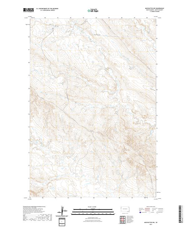
2021 Map of Mud Buttes NW
USGS Topo · Published 2021About this map
South Indian Cr and North Indian Cr define the drainage patterns across this Butte County landscape, where the high plains of South Dakota meet organized ranching and resource infrastructure. The map reveals a network of rural routes such as Albion Rd and Yankley Ranch Rd that connect isolated properties across the township boundaries of T11N and T12N. Water is the primary geographic driver here, with numerous seasonal drainages including Lonetree Cr, Short Cr, and Watson Draw carving through the terrain. The presence of Williston Basin Rd and the Williston Cutoff Rd highlights the area's connection to the broader regional energy and transportation corridors. Local topographical variety is noted at Opossum Hollow, while the far south is marked by Owl Cr and Ruben Cr, illustrating the sparse but vital water resources in this portion of the Great Plains.
Find a feature on this map
19 named features on this map. Tap any name to fly to it.
Don’t see what you’re looking for? This feature index may not catch every label — zoom into the map to look around manually.
Map Details
Editions of this 2021 Mud Buttes NW Map
This is the sole edition of this map. No revisions or reprints were ever made.
Other maps of this area

1901 · Aladdin
USGS Topo · 1:125,000

1903 · Aladdin
USGS Topo · 1:125,000

1905 · Indian
USGS Topo · 1:62,500

1907 · Belle Fourche
USGS Topo · 1:125,000

1935 · Harding
USGS Topo · 1:125,000

1953 · Rapid City
USGS Topo · 1:250,000

1954 · Lemmon
USGS Topo · 1:250,000

1954 · Ekalaka
USGS Topo · 1:250,000

1954 · Gillette
USGS Topo · 1:250,000

1955 · Gillette
USGS Topo · 1:250,000