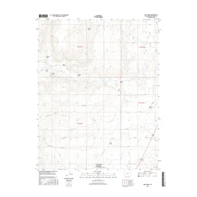
2016 Map of Mud Creek
USGS Topo · Published 2016About this map
Yucca House National Monument anchors the southern portion of this landscape, preserving significant ancestral Puebloan sites in the high desert of Montezuma County. The area is defined by a complex drainage system where the McElmo Creek and Mud Creek intersect, carving out McElmo Canyon and Morrison Canyon. These natural features dictated the early settlement and ranching patterns of the region, as evidenced by the numerous irrigation projects including Duncan Ditch, Highline Ditch, and Rocky Ford Ditch that lace through the valley south of the Aztec Divide.
Find a feature on this map
52 named features on this map. Tap any name to fly to it.
Don’t see what you’re looking for? This feature index may not catch every label — zoom into the map to look around manually.
Map Details
Editions of this 2016 Mud Creek Map
This is the sole edition of this map. No revisions or reprints were ever made.
Other maps of this area

1956 · Cortez
USGS Topo · 1:250,000

1957 · Moqui SE
USGS Topo · 1:24,000

1958 · Cortez SW
USGS Topo · 1:24,000

1958 · Sentinel Peak NE
USGS Topo · 1:24,000

1958 · Cortez
USGS Topo · 1:250,000

1959 · Cortez
USGS Topo · 1:250,000

1962 · Cortez
USGS Topo · 1:250,000

1965 · Woods Canyon
USGS Topo · 1:24,000

1965 · Cortez
USGS Topo · 1:24,000

1965 · Dolores West
USGS Topo · 1:24,000