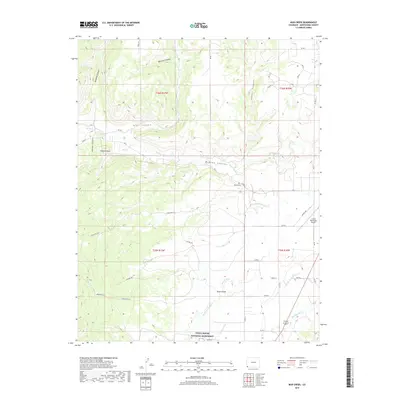
2019 Map of Mud Creek
USGS Topo · Published 2019About this map
Yucca House National Monument anchors the southern landscape of this Colorado terrain, marking a site of significant ancestral importance. The area is defined by a complex network of canyons and mesas, including Goodman Canyon, Trail Canyon, and McElmo Canyon, which channel the local drainage toward McElmo Creek. This 2019 survey illustrates the intricate water management system essential to the high desert, featuring the Duncan Ditch, Ute Mountain Ditch, and Highline Ditch winding across the Aztec Divide.
Find a feature on this map
54 named features on this map. Tap any name to fly to it.
Don’t see what you’re looking for? This feature index may not catch every label — zoom into the map to look around manually.
Map Details
Editions of this 2019 Mud Creek Map
This is the sole edition of this map. No revisions or reprints were ever made.
Other maps of this area

1956 · Cortez
USGS Topo · 1:250,000

1957 · Moqui SE
USGS Topo · 1:24,000

1958 · Cortez SW
USGS Topo · 1:24,000

1958 · Sentinel Peak NE
USGS Topo · 1:24,000

1958 · Cortez
USGS Topo · 1:250,000

1959 · Cortez
USGS Topo · 1:250,000

1962 · Cortez
USGS Topo · 1:250,000

1965 · Woods Canyon
USGS Topo · 1:24,000

1965 · Cortez
USGS Topo · 1:24,000

1965 · Dolores West
USGS Topo · 1:24,000