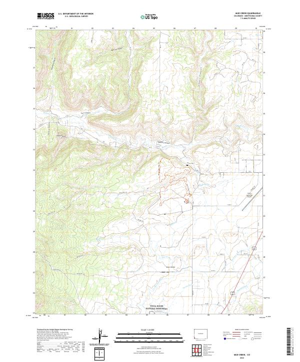
2022 Map of Mud Creek
USGS Topo · Published 2022About this map
Yucca House National Monument anchors the southern portion of this landscape, preserving an ancient archaeological site within the arid terrain of Montezuma County. The map details a complex network of canyons and mesas, including Goodman Canyon, Morrison Canyon, and Trail Canyon, which carve through the high desert floor. The agricultural history of the region is evident in the engineered waterways like the Ute Mountain Ditch, Duncan Ditch, and Highline Ditch, which redirect water across the Aztec Divide to support local ranching and farming operations.
Find a feature on this map
85 named features on this map. Tap any name to fly to it.
Don’t see what you’re looking for? This feature index may not catch every label — zoom into the map to look around manually.
Map Details
Editions of this 2022 Mud Creek Map
This is the sole edition of this map. No revisions or reprints were ever made.
Other maps of this area

1956 · Cortez
USGS Topo · 1:250,000

1957 · Moqui SE
USGS Topo · 1:24,000

1958 · Cortez SW
USGS Topo · 1:24,000

1958 · Sentinel Peak NE
USGS Topo · 1:24,000

1958 · Cortez
USGS Topo · 1:250,000

1959 · Cortez
USGS Topo · 1:250,000

1962 · Cortez
USGS Topo · 1:250,000

1965 · Woods Canyon
USGS Topo · 1:24,000

1965 · Cortez
USGS Topo · 1:24,000

1965 · Dolores West
USGS Topo · 1:24,000