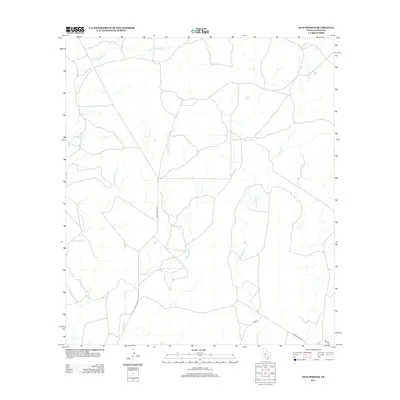
2013 Map of Mud Springs
USGS Topo · Published 2013About this map
Mud Springs and Pecan Springs anchor this arid landscape in Kinney County, serving as vital water points in a region defined by seasonal drainages and cattle country infrastructure. The network of intermittent streams, including Perdido Cr and the winding W Pinto Cr, reveals the natural drainage patterns that have historically dictated ranch boundaries and road placement in this part of southwest Texas. Access through the area is provided by Ranch Road 3008 and Ranch Road 2804, which navigate the terrain alongside smaller local routes like Elf Ln. The map offers a precise look at the rural land management and hydrological features, such as E Fork Sycamore Cr, during the early twenty-first century.
Find a feature on this map
11 named features on this map. Tap any name to fly to it.
Don’t see what you’re looking for? This feature index may not catch every label — zoom into the map to look around manually.
Map Details
Editions of this 2013 Mud Springs Map
This is the sole edition of this map. No revisions or reprints were ever made.
Other maps of this area

1893 · Nueces
USGS Topo · 1:125,000

1896 · Nueces
USGS Topo · 1:125,000

1896 · Brackett
USGS Topo · 1:125,000

1897 · Brackett
USGS Topo · 1:125,000

1941 · Standart
USGS Topo · 1:62,500

1943 · Standart
USGS Topo · 1:62,500

1944 · Flat Rock
USGS Topo · 1:62,500

1944 · Brackettville
USGS Topo · 1:62,500

1944 · Indian Mountain
USGS Topo · 1:62,500

1958 · Del Rio
USGS Topo · 1:250,000