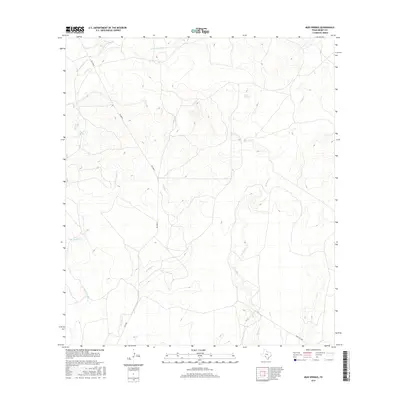
2016 Map of Mud Springs
USGS Topo · Published 2016About this map
Mud Springs and Pecan Springs serve as the primary landmarks in this arid stretch of Kinney County, where the landscape is defined by a dendritic network of ephemeral waterways. The geography is dominated by the catchments of E Fork Sycamore Cr in the northwest and the winding course of W Pinto Cr to the east. These drainage patterns illustrate the seasonal water movement through the Texas brush country, punctuated by named crossings and intermittent flows like Little Perdido Cr and Perdido Cr.
Find a feature on this map
11 named features on this map. Tap any name to fly to it.
Don’t see what you’re looking for? This feature index may not catch every label — zoom into the map to look around manually.
Map Details
Editions of this 2016 Mud Springs Map
This is the sole edition of this map. No revisions or reprints were ever made.
Other maps of this area

1893 · Nueces
USGS Topo · 1:125,000

1896 · Nueces
USGS Topo · 1:125,000

1896 · Brackett
USGS Topo · 1:125,000

1897 · Brackett
USGS Topo · 1:125,000

1941 · Standart
USGS Topo · 1:62,500

1943 · Standart
USGS Topo · 1:62,500

1944 · Flat Rock
USGS Topo · 1:62,500

1944 · Brackettville
USGS Topo · 1:62,500

1944 · Indian Mountain
USGS Topo · 1:62,500

1958 · Del Rio
USGS Topo · 1:250,000