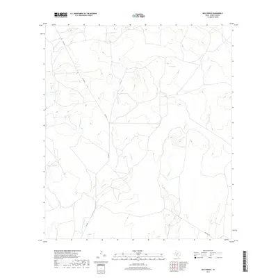
2019 Map of Mud Springs
USGS Topo · Published 2019About this map
Mud Springs and Pecan Springs highlight a landscape defined by its critical water sources in this southwestern Texas region. The drainage patterns of Perdido Cr and Little Perdido Cr carve through the terrain, joined by the E Fork Sycamore Cr in the north and the winding W Pinto Cr to the east. Transportation through this part of Kinney County is facilitated by RM 3008 N and F M 3008, which provide access to ranch lands. The presence of named springs like Mud Springs suggests the historical importance of reliable water points for livestock and travel in an otherwise arid environment. Modern infrastructure is represented by Ranch Rd 2804 and the residential Elf Ln in the south, indicating the slow evolution of land use from open range toward managed ranching and light development.
Find a feature on this map
11 named features on this map. Tap any name to fly to it.
Don’t see what you’re looking for? This feature index may not catch every label — zoom into the map to look around manually.
Map Details
Editions of this 2019 Mud Springs Map
This is the sole edition of this map. No revisions or reprints were ever made.
Other maps of this area

1893 · Nueces
USGS Topo · 1:125,000

1896 · Nueces
USGS Topo · 1:125,000

1896 · Brackett
USGS Topo · 1:125,000

1897 · Brackett
USGS Topo · 1:125,000

1941 · Standart
USGS Topo · 1:62,500

1943 · Standart
USGS Topo · 1:62,500

1944 · Flat Rock
USGS Topo · 1:62,500

1944 · Brackettville
USGS Topo · 1:62,500

1944 · Indian Mountain
USGS Topo · 1:62,500

1958 · Del Rio
USGS Topo · 1:250,000