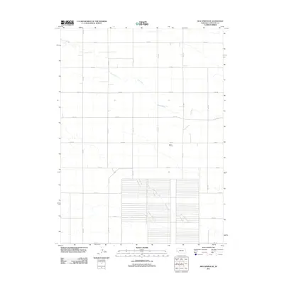
2011 Map of Mud Springs SE
USGS Topo · Published 2011About this map
Salem Cemetery sits as a lonely landmark within the high plains of Cheyenne County, marking a quiet legacy of settlement in this corner of Nebraska. The landscape is defined by the wandering path of Rush Creek, which cuts diagonally through a rigid grid of section-line roads. This survey illustrates the deep-rooted rectangular survey system that organized the Great Plains, where routes like Road 101 and Road 44 intersect at precise intervals across the prairie. The vast, open character of the terrain is punctuated by intermittent drainage patterns and a sprawling system of agricultural land divisions, reflecting a century of persistence in a region where water sources like Rush Creek were vital to the early homesteading economy.
Find a feature on this map
17 named features on this map. Tap any name to fly to it.
Don’t see what you’re looking for? This feature index may not catch every label — zoom into the map to look around manually.
Map Details
Editions of this 2011 Mud Springs SE Map
This is the sole edition of this map. No revisions or reprints were ever made.
Other maps of this area

1899 · Sidney
USGS Topo · 1:125,000

1954 · Scottsbluff
USGS Topo · 1:250,000

1958 · Scottsbluff
USGS Topo · 1:250,000

1972 · Gurley
USGS Topo · 1:24,000

1972 · Mud Springs SW
USGS Topo · 1:24,000
1972 · Dalton
USGS Topo · 1:24,000

1972 · Point Of Rocks
USGS Topo · 1:24,000

1972 · Brownson
USGS Topo · 1:24,000

1972 · Horsehead Ranch
USGS Topo · 1:24,000

1972 · Mud Springs SE
USGS Topo · 1:24,000