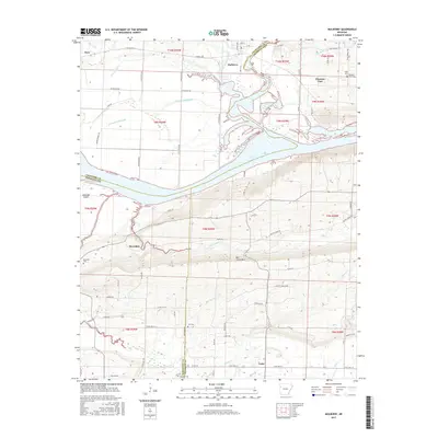
2017 Map of Mulberry
USGS Topo · Published 2017About this map
Mulberry stands at the heart of this survey, where the Little Mulberry Creek flows south toward the wide expanse of Ozark Lake. The landscape is defined by the intersection of Crawford, Franklin, and Sebastian counties, creating a complex corridor of rural settlements and family-named landmarks. To the east, Pleasant View sits near the ridge, while the Arkansas River valley is punctuated by Arbuckle Island and the riverside community of Riverdale. Significant elevation changes are evident as the terrain rises toward Mill Creek Mtn in the south. Genealogists will find numerous burial sites documented across the quadrangle, including the Tate Cem, Arbuckle Cem, and Hight Cem. The network of local roads like Ham Town Rd S and Vine Prairie Rd connects these agricultural uplands to the primary river valley floor.
Find a feature on this map
82 named features on this map. Tap any name to fly to it.
Don’t see what you’re looking for? This feature index may not catch every label — zoom into the map to look around manually.
Map Details
Editions of this 2017 Mulberry Map
This is the sole edition of this map. No revisions or reprints were ever made.
Other maps of this area

1879 · Cravens
USGS Topo · 1:62,500

1887 · Magazine Mountain #2
USGS Topo · 1:62,500

1887 · Watalula
USGS Topo · 1:62,500

1887 · Magazine Mountain
USGS Topo · 1:62,500

1890 · Magazine Mountain
USGS Topo · 1:125,000

1890 · Fort Smith
USGS Topo · 1:125,000

1898 · Winslow #4
USGS Topo · 1:62,500

1898 · Winslow
USGS Topo · 1:125,000

1901 · Winslow
USGS Topo · 1:125,000

1906 · Lavaca
USGS Topo · 1:62,500