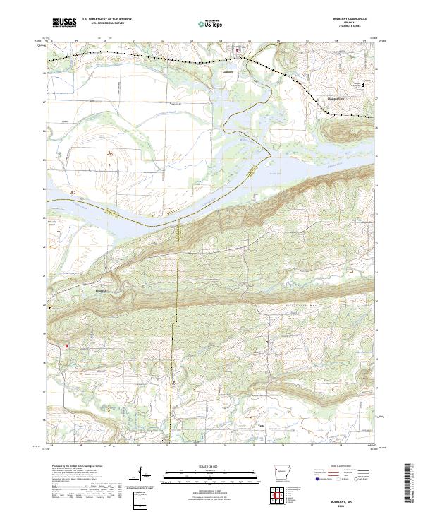
2024 Map of Mulberry
USGS Topo · Published 2024About this map
Mulberry serves as the focal point of this riverfront landscape, situated where the Mulberry River joins the Arkansas River and Ozark Lake. The terrain transitions from the low-lying Arbuckle Island and various sloughs in the west to the significant elevation of Mill Creek Mtn in the southeast. This geography created a natural corridor for transport and settlement, evidenced by the clustered communities of Pleasant View, Riverdale, and Vesta. Local history and genealogy are well-represented by several family and community burial grounds, including Hight Cem, Tate Cem, and Hepseby Cem, which are scattered throughout the hills and creek valleys. The intricate network of rural roads like Tate Ridge Rd and Vine Prairie Rd suggests a long-standing agricultural and residential pattern that follows the winding courses of Mill Creek and Onion Creek.
Find a feature on this map
78 named features on this map. Tap any name to fly to it.
Don’t see what you’re looking for? This feature index may not catch every label — zoom into the map to look around manually.
Map Details
Editions of this 2024 Mulberry Map
This is the sole edition of this map. No revisions or reprints were ever made.
Other maps of this area

1879 · Cravens
USGS Topo · 1:62,500

1887 · Magazine Mountain #2
USGS Topo · 1:62,500

1887 · Watalula
USGS Topo · 1:62,500

1887 · Magazine Mountain
USGS Topo · 1:62,500

1890 · Magazine Mountain
USGS Topo · 1:125,000

1890 · Fort Smith
USGS Topo · 1:125,000

1898 · Winslow #4
USGS Topo · 1:62,500

1898 · Winslow
USGS Topo · 1:125,000

1901 · Winslow
USGS Topo · 1:125,000

1906 · Lavaca
USGS Topo · 1:62,500