Loading...
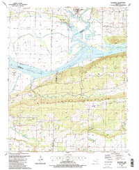
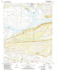
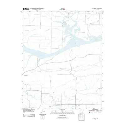
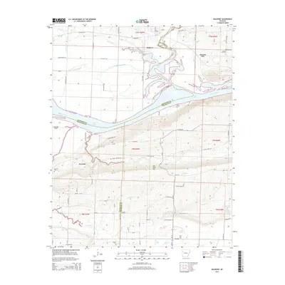
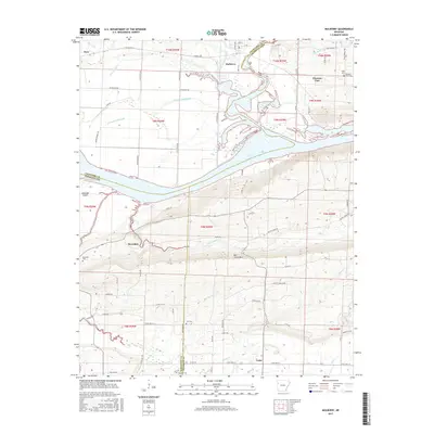
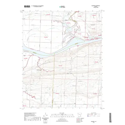
Loading map...1987 Map of Mulberry
USGS Topo · Published 1988About this map
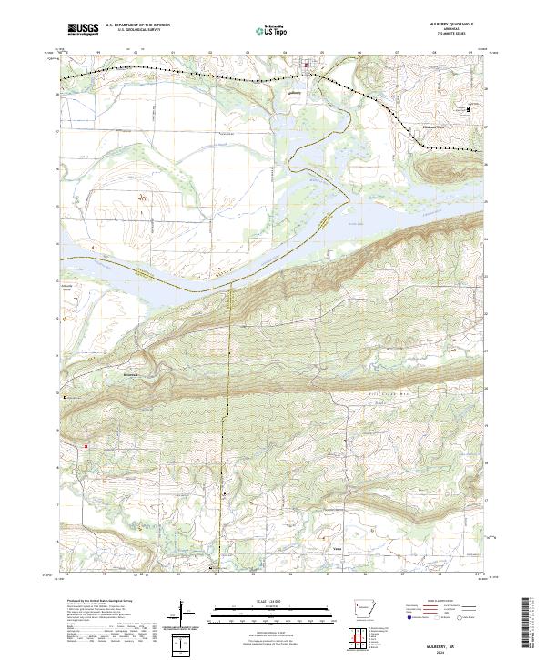
Mulberry anchors the northern reach of this landscape, where the Mulberry River winds toward its confluence with the Arkansas River. The 1980s terrain is heavily marked by the natural gas industry, with numerous Gas Wells scattered across the uplands and floodplains. To the south, Mill Creek Mountain rises as a prominent ridge, separating the river valley from the rural communities of Vesta and the Hall school district.
Find a feature on this map
46 named features on this map. Tap any name to fly to it.
Don’t see what you’re looking for? This feature index may not catch every label — zoom into the map to look around manually.
Map Details
Date Portrayed1987
Date Published1988
PublisherU.S. Geological Survey
Map TypeTopographic
Scale1:24,000
Physical Dimensions21.9 x 26.8 inches
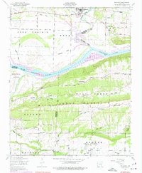
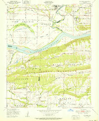
Editions of this 1987 Mulberry Map
2 editions found
Historical Maps of Mulberry Through Time
8 maps found
Featured Locations
Source Details
SourceU.S. Geological Survey
CopyrightPublic Domain