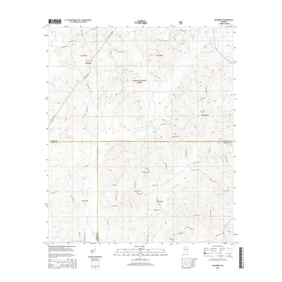
2015 Map of Mulberry
USGS Topo · Published 2015About this map
Mulberry and the surrounding piney woods are centered at the intersection of Wayne, Perry, and Greene Counties in this 2015 survey. Much of the landscape is dominated by the Desoto National Forest, where a network of forest roads and small branches like Gator Br and Gunstock Br carve through the terrain. For genealogists and local historians, the map is remarkably detailed regarding burial sites, noting Mulberry Cem, Hickory Grove Cem, Union Cem, and Mount Zion Cem.
Find a feature on this map
69 named features on this map. Tap any name to fly to it.
Don’t see what you’re looking for? This feature index may not catch every label — zoom into the map to look around manually.
Map Details
Editions of this 2015 Mulberry Map
This is the sole edition of this map. No revisions or reprints were ever made.
Other maps of this area

1953 · Hattiesburg
USGS Topo · 1:250,000

1958 · Hattiesburg
USGS Topo · 1:250,000

1963 · Brewer
USGS Topo · 1:24,000

1964 · Rhodes
USGS Topo · 1:24,000

1964 · Richton
USGS Topo · 1:24,000

1964 · Clara
USGS Topo · 1:24,000

1964 · Strengthford
USGS Topo · 1:24,000

1964 · Mulberry
USGS Topo · 1:24,000

1964 · Avera
USGS Topo · 1:24,000

1964 · Piave
USGS Topo · 1:24,000