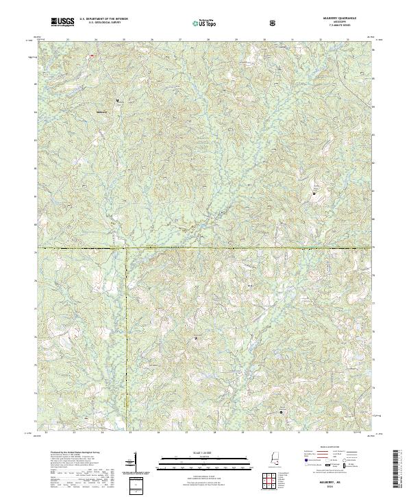
2024 Map of Mulberry
USGS Topo · Published 2024About this map
Mulberry and the surrounding woodlands of Wayne County define this rural landscape as documented by the U.S. Geological Survey. The region is characterized by a network of watercourses, most notably the winding path of Bogue Homa and the smaller Dry Creek. These drainages cut through a terrain primarily composed of dense forest cover, typical of the pine-belt region of southeastern Mississippi.
Find a feature on this map
6 named features on this map. Tap any name to fly to it.
Don’t see what you’re looking for? This feature index may not catch every label — zoom into the map to look around manually.
Map Details
Editions of this 2024 Mulberry Map
This is the sole edition of this map. No revisions or reprints were ever made.
Other maps of this area

1953 · Hattiesburg
USGS Topo · 1:250,000

1958 · Hattiesburg
USGS Topo · 1:250,000

1963 · Brewer
USGS Topo · 1:24,000

1964 · Rhodes
USGS Topo · 1:24,000

1964 · Richton
USGS Topo · 1:24,000

1964 · Clara
USGS Topo · 1:24,000

1964 · Strengthford
USGS Topo · 1:24,000

1964 · Mulberry
USGS Topo · 1:24,000

1964 · Avera
USGS Topo · 1:24,000

1964 · Piave
USGS Topo · 1:24,000