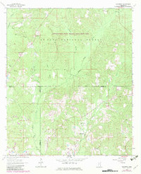
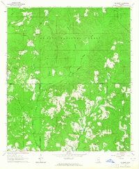
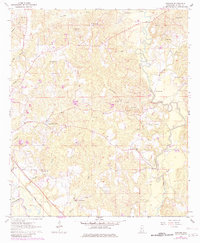
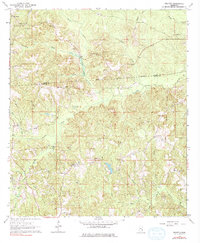
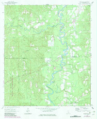
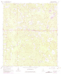
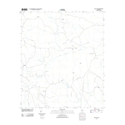
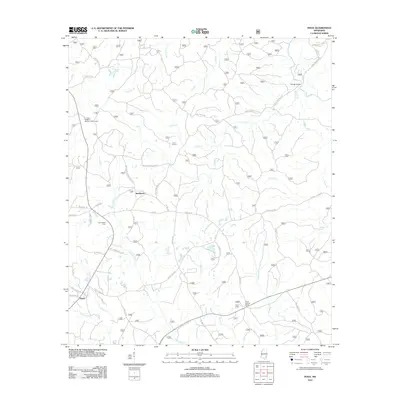
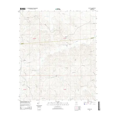
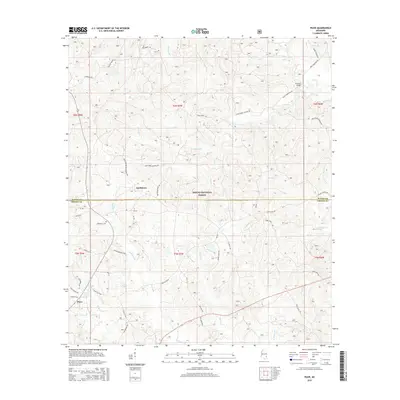
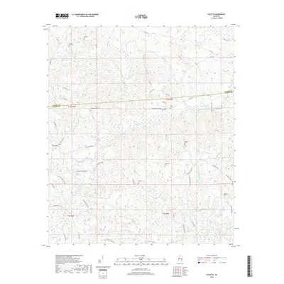
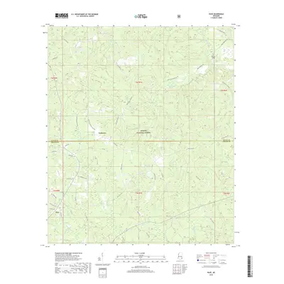
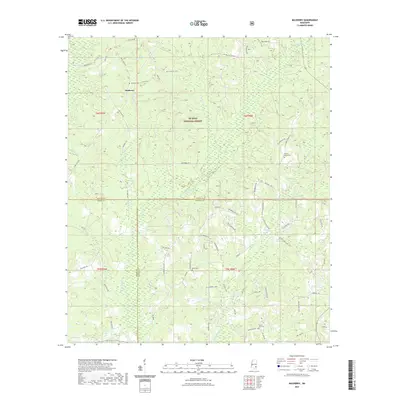
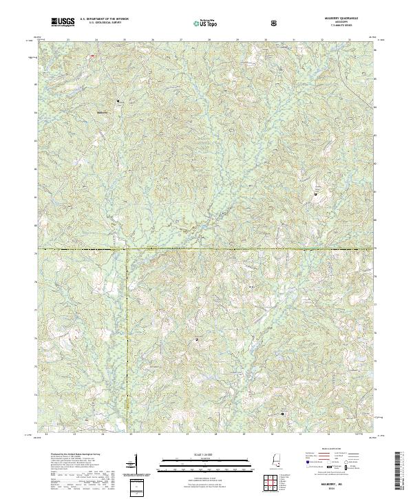
1964 Map of Mulberry
USGS Topo · Published 1982About this map
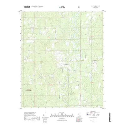
Mulberry and its surrounding timberlands sit at the intersection of three counties, where the De Soto National Forest and the Chickasawhay State Wildlife Management Area dominate the rolling Mississippi landscape. The area is defined by a network of drainage systems, including Thompson Creek and Gunstock Creek, which shaped the early settlement patterns and logging routes of the region.
Find a feature on this map
27 named features on this map. Tap any name to fly to it.
Don’t see what you’re looking for? This feature index may not catch every label — zoom into the map to look around manually.
Map Details
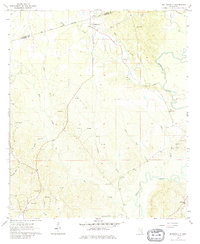
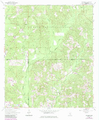
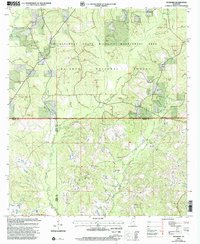
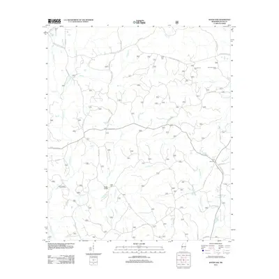
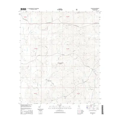
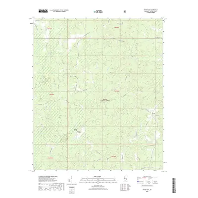
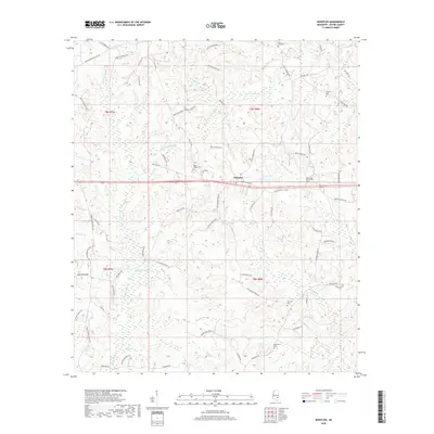
Editions of this 1964 Mulberry Map
3 editions found
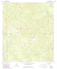
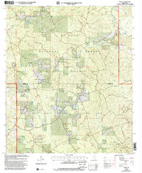
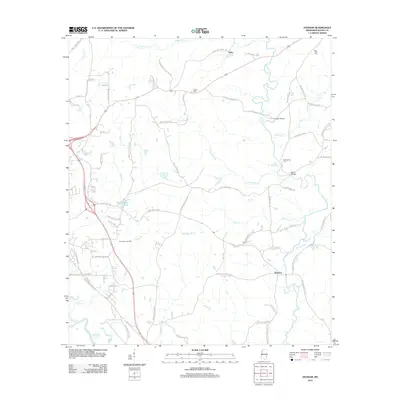
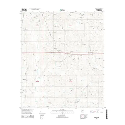
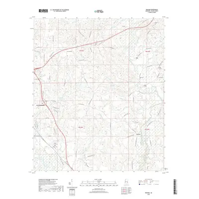
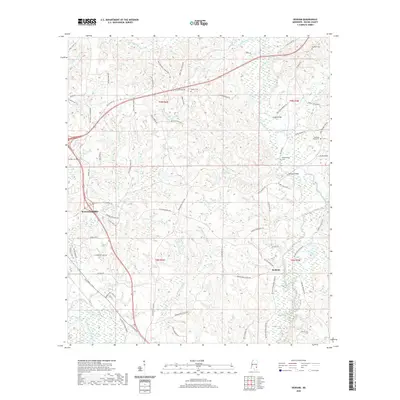
Historical Maps of Mulberry Through Time
49 maps found
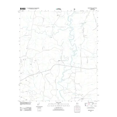
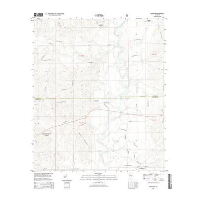
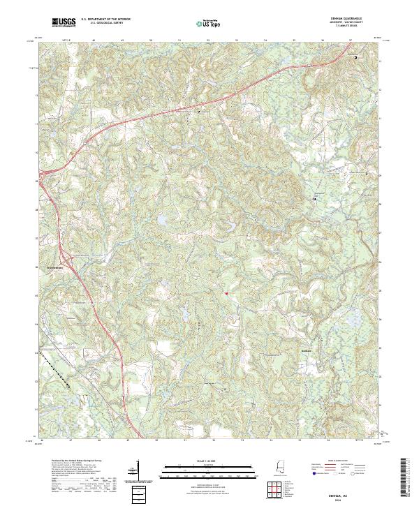
1964 Denham
Wayne County, MS
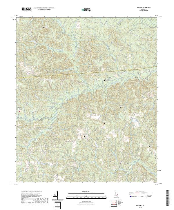
1964 Eucutta
Wayne County, MS
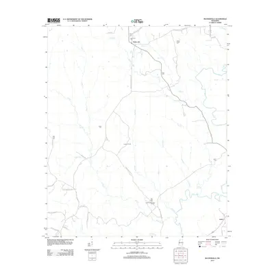
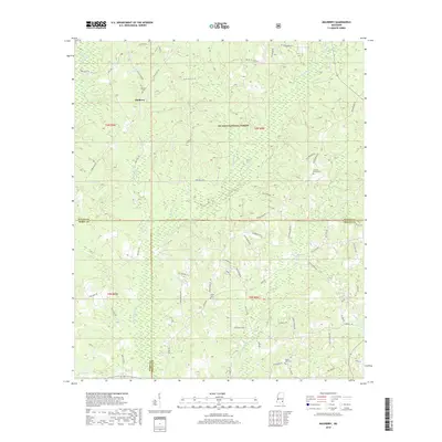
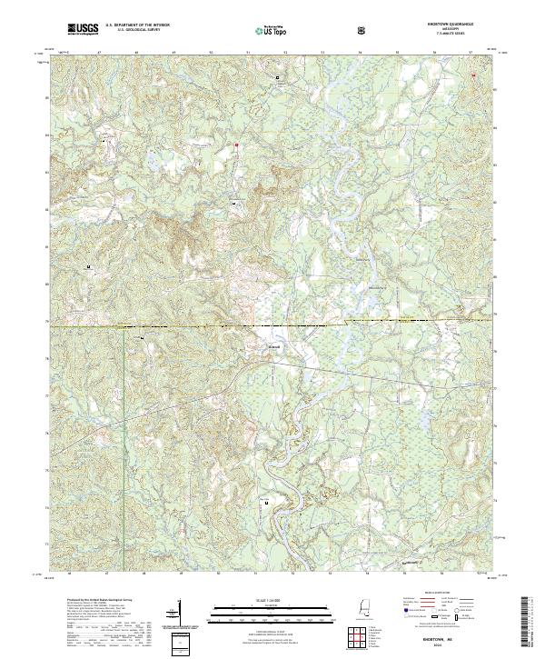
1964 Knobtown
Wayne County, MS
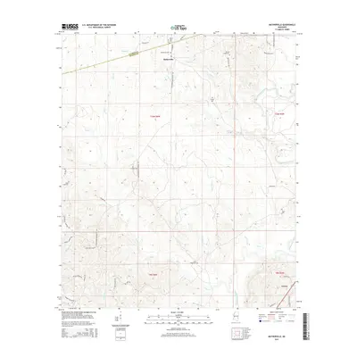
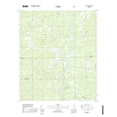
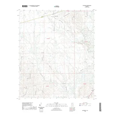
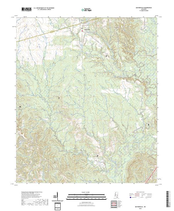
1964 Matherville
Wayne County, MS
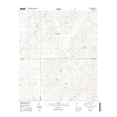
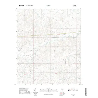
1964 Mulberry
Wayne County, MS
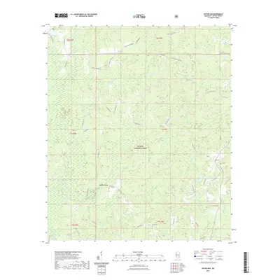
1964 Piave
Wayne County, MS
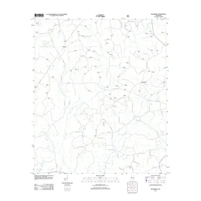
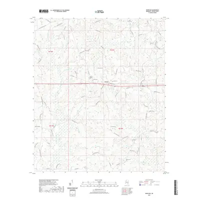
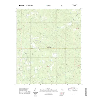
1964 Whistler
Wayne County, MS
2000 Mulberry
Wayne County, MS
2000 Piave
Wayne County, MS
2012 Denham
Wayne County, MS
2012 Eucutta
Wayne County, MS
2012 Knobtown
Wayne County, MS
2012 Matherville
Wayne County, MS
2012 Mulberry
Wayne County, MS
2012 Piave
Wayne County, MS
2012 Water Oak
Wayne County, MS
2012 Whistler
Wayne County, MS
2015 Denham
Wayne County, MS
2015 Eucutta
Wayne County, MS
2015 Knobtown
Wayne County, MS
2015 Matherville
Wayne County, MS
2015 Mulberry
Wayne County, MS
2015 Piave
Wayne County, MS
2015 Water Oak
Wayne County, MS
2015 Whistler
Wayne County, MS
2018 Denham
Wayne County, MS
2018 Eucutta
Wayne County, MS
2018 Knobtown
Wayne County, MS
2018 Matherville
Wayne County, MS
2018 Mulberry
Wayne County, MS
2018 Piave
Wayne County, MS
2018 Water Oak
Wayne County, MS
2018 Whistler
Wayne County, MS
2020 Denham
Wayne County, MS
2020 Eucutta
Wayne County, MS
2020 Matherville
Wayne County, MS
2020 Whistler
Wayne County, MS
2021 Knobtown
Wayne County, MS
2021 Mulberry
Wayne County, MS
2021 Piave
Wayne County, MS
2021 Water Oak
Wayne County, MS
2024 Denham
Wayne County, MS
2024 Eucutta
Wayne County, MS
2024 Knobtown
Wayne County, MS
2024 Matherville
Wayne County, MS
2024 Mulberry
Wayne County, MS
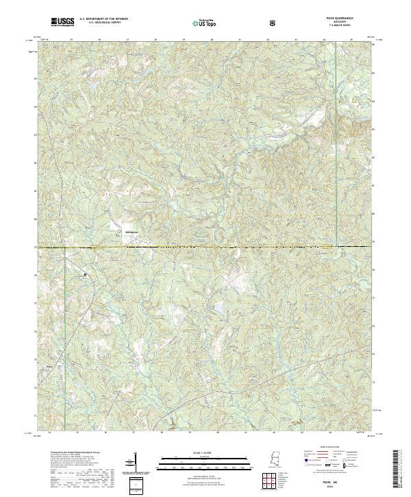
2024 Piave
Wayne County, MS
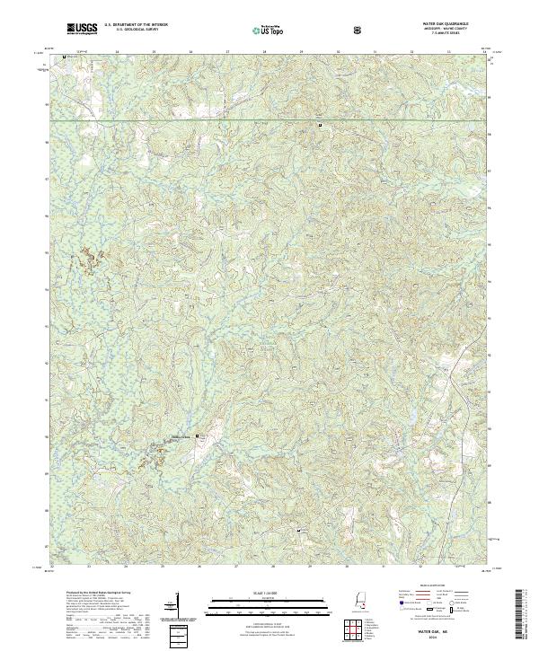
2024 Water Oak
Wayne County, MS
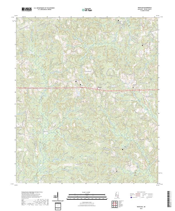
2024 Whistler
Wayne County, MS