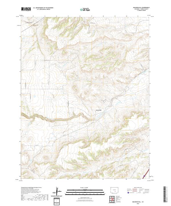
2022 Map of Muldoon Hill
USGS Topo · Published 2022About this map
Burnt Mill serves as a focal point in this portion of Pueblo County, where the Saint Charles River winds through a landscape of named canyons and watercourses. The local hydrology is defined by features with descriptive names such as Stinking Arroyo, Stinking Spring, and the seasonal Muddy Cr. In the north, Muldoon Hill overlooks the junction of Wales Canyon and Muldoon Cr, while irrigation infrastructure like the Pollard Ditch indicates the management of water in this semi-arid environment. The mapping reveals a transition from traditional rural tracks like S Crow Cutoff and Waterbarrel Rd to contemporary residential names such as Meadow Dr and South Ln, reflecting the evolving land use near the river valley. This document provides an exact view of the township and range boundaries including t22s r67w and t23s r66w, which remain critical for property research and historical land surveys in the region.
Find a feature on this map
36 named features on this map. Tap any name to fly to it.
Don’t see what you’re looking for? This feature index may not catch every label — zoom into the map to look around manually.
Map Details
Editions of this 2022 Muldoon Hill Map
This is the sole edition of this map. No revisions or reprints were ever made.
Other maps of this area

1891 · Walsenburg
USGS Topo · 1:125,000

1891 · Pueblo
USGS Topo · 1:125,000

1894 · Walsenburg
USGS Topo · 1:125,000

1894 · Pueblo
USGS Topo · 1:125,000

1896 · Pueblo
USGS Topo · 1:125,000

1897 · Pueblo
USGS Topo · 1:125,000

1897 · Walsenburg
USGS Topo · 1:125,000

1900 · Walsenburg
USGS Topo · 1:125,000

1954 · Trinidad
USGS Topo · 1:250,000

1954 · Pueblo
USGS Topo · 1:250,000