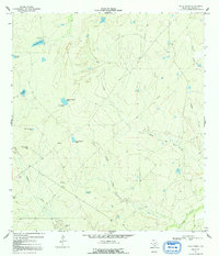
1969 Map of Mule Creek
USGS Topo · Published 1992About this map
The drainage network of the Nueces River and its seasonal tributaries defines this ranching landscape in McMullen County. Flowing from the north, Mule Creek and Caballo Creek cut through the terrain toward the southern river valley, while scattered stock tanks provide essential water in this semi-arid environment. One of the most distinctive features is the Noria Caliente Flowing Well (Hot), a geothermal water source in the western part of the quadrangle.
Find a feature on this map
20 named features on this map. Tap any name to fly to it.
Don’t see what you’re looking for? This feature index may not catch every label — zoom into the map to look around manually.
Map Details
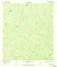
Editions of this 1969 Mule Creek Map
2 editions found
Other maps of this area

1925 · Tilden No. 1
USGS Topo · 1:48,000

1930 · Tilden
USGS Topo · 1:62,500

1937 · Loma Alta
USGS Topo · 1:62,500

1942 · Fowlerton
USGS Topo · 1:62,500

1942 · Tilden
USGS Topo · 1:62,500

1953 · Crystal City
USGS Topo · 1:250,000

1955 · Crystal City
USGS Topo · 1:250,000

1956 · Piedra Creek
USGS Topo · 1:62,500

1956 · Fowlerton
USGS Topo · 1:62,500

1961 · Crystal City
USGS Topo · 1:250,000