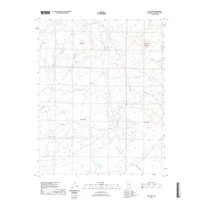
2020 Map of Mule Dam
USGS Topo · Published 2020About this map
Mule Dam and the high desert terrain of Sandoval County define this area of New Mexico, where water management is central to the landscape. The map details a network of water collection points essential for ranching and survival in this arid environment, including Big Island Gee Tank, Abundant Pit Tank, and Remedy Pit Tank. These features, along with Chimney Pit Tank, are distributed across a topography marked by drainage systems like Cañada Alamos and Cañada Corrales.
Find a feature on this map
21 named features on this map. Tap any name to fly to it.
Don’t see what you’re looking for? This feature index may not catch every label — zoom into the map to look around manually.
Map Details
Editions of this 2020 Mule Dam Map
This is the sole edition of this map. No revisions or reprints were ever made.
Other maps of this area

1883 · Mt. Taylor
USGS Topo · 1:250,000

1886 · Mt. Taylor
USGS Topo · 1:250,000

1889 · Largo
USGS Topo · 1:250,000

1892 · Mt. Taylor
USGS Topo · 1:250,000

1895 · Largo
USGS Topo · 1:250,000

1899 · Mt. Taylor
USGS Topo · 1:250,000

1954 · Aztec
USGS Topo · 1:250,000

1958 · Aztec
USGS Topo · 1:250,000

1958 · Albuquerque
USGS Topo · 1:250,000

1960 · Pueblo Alto Trading Post
USGS Topo · 1:24,000