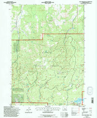
1992 Map of Mule Deer Ridge
USGS Topo · Published 1997About this map
The Maury Mountains dominate this high-desert landscape within the Ochoco National Forest, where resource extraction and water management define the terrain. In the northern reaches, the presence of the Maury Mtn Mines and various prospects suggests a history of mineral exploration concentrated near Newsome Creek. The topographical detail reveals a complex network of seasonal drainage and vital water sources, such as Mule Deer Spring and Knox Spring, which were essential for both wildlife and livestock in this arid environment.
Find a feature on this map
38 named features on this map. Tap any name to fly to it.
Don’t see what you’re looking for? This feature index may not catch every label — zoom into the map to look around manually.
Map Details
Editions of this 1992 Mule Deer Ridge Map
This is the sole edition of this map. No revisions or reprints were ever made.
Other maps of this area

1946 · Eagle Rock
USGS Topo · 1:62,500

1948 · Eagle Rock
USGS Topo · 1:62,500

1951 · Post
USGS Topo · 1:62,500

1955 · Crescent
USGS Topo · 1:250,000

1955 · Bend
USGS Topo · 1:250,000

1957 · Crescent
USGS Topo · 1:250,000

1957 · Bend
USGS Topo · 1:250,000

1958 · Crescent
USGS Topo · 1:250,000

1958 · Bend
USGS Topo · 1:250,000
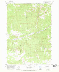
1967 · Sugarloaf Butte
USGS Topo · 1:24,000