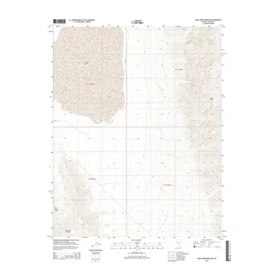
2015 Map of Mule Deer Ridge NW
USGS Topo · Published 2015About this map
Desert Lake and its vast dry basin dominate the western landscape of this Lincoln County survey, illustrating the stark hydrology of the high desert. To the east, the rugged topography of the Sheep Range rises sharply, contrasting with the lower elevations of the East Desert Range found in the southwest corner. This terrain is defined by its isolation, where scarce water sources like Dry Lake Spring were essential for early travelers and livestock. The presence of Alamo Rd provides the primary transit corridor through this arid environment, following the natural contours between these prominent mountain blocks. This map captures the intersection of traditional desert basins and the high ridges that characterize this part of southern Nevada, preserving the names and locations of critical watering holes and landforms used by generations navigating the Great Basin.
Find a feature on this map
10 named features on this map. Tap any name to fly to it.
Don’t see what you’re looking for? This feature index may not catch every label — zoom into the map to look around manually.
Map Details
Editions of this 2015 Mule Deer Ridge NW Map
This is the sole edition of this map. No revisions or reprints were ever made.
Other maps of this area

1907 · Las Vegas
USGS Topo · 1:250,000

1908 · Las Vegas
USGS Topo · 1:250,000

1945 · Sheep Range
USGS Topo · 1:125,000

1945 · Alamo
USGS Topo · 1:125,000

1954 · Caliente
USGS Topo · 1:250,000

1954 · Las Vegas
USGS Topo · 1:250,000

1957 · Las Vegas
USGS Topo · 1:250,000

1959 · Caliente
USGS Topo · 1:250,000

1959 · Las Vegas
USGS Topo · 1:250,000

1962 · Las Vegas
USGS Topo · 1:250,000