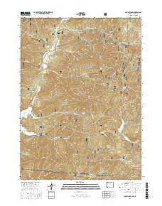
2017 Map of Mule Mountain
USGS Topo · Published 2017About this map
The Rogue River National Forest defines this high-elevation landscape along the border of Oregon and California, where the Applegate River and Applegate Lake serve as central hydrologic landmarks. This modern survey illustrates a network of forest development roads and trails, such as Old Copper Rd and French Gulch Rd, that provide access to the area's prominent summits and deep drainages. Distinctive terrain features like Mule Mtn, Squaw Peak, and the curiously named Hole in the Ground suggest a land shaped by both geologic forces and a long history of local naming. To the southeast, the Squaw Lakes and Summit Lake sit near the transition into the Siskiyou Mountains, while the presence of locations like Iron Hand and Iron Knob point toward the mineral prospects that once drew prospectors into these gulches.
Find a feature on this map
74 named features on this map. Tap any name to fly to it.
Don’t see what you’re looking for? This feature index may not catch every label — zoom into the map to look around manually.
Map Details
Editions of this 2017 Mule Mountain Map
This is the sole edition of this map. No revisions or reprints were ever made.
Other maps of this area

1886 · Shasta
USGS Topo · 1:250,000

1891 · Ashland
USGS Topo · 1:250,000

1893 · Ashland
USGS Topo · 1:250,000

1894 · Shasta
USGS Topo · 1:250,000

1897 · Ashland
USGS Topo · 1:250,000

1908 · Grants Pass
USGS Topo · 1:125,000

1914 · Seiad
USGS Topo · 1:125,000

1922 · Seiad
USGS Topo · 1:125,000

1932 · Yreka
USGS Topo · 1:96,000

1938 · Medford
USGS Topo · 1:125,000