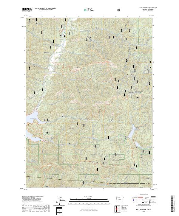
2023 Map of Mule Mountain
USGS Topo · Published 2023About this map
Rogue River National Forest defines the rugged borderlands between Oregon and California, where the Applegate River feeds the prominent Applegate Lake. This survey captures the intricate network of historic mining and pack trails that traverse the Siskiyou Mountains, including the Gin Lin Trl and the Prospectors Loop Trl. The landscape is characterized by a dense system of gulches and ridges, such as Elliott Creek Ridge and Little Grayback Mtn, which have shaped movement through this region for generations. Notable landmarks like Hole in the Ground and Iron Knob reflect the descriptive naming conventions of early settlers and miners. Along the lake, features such as Mulligan Bay and French Gulch mark the meeting of the high-elevation terrain with the managed waters of the Applegate system, providing a clear record of the area's natural topography and recreational infrastructure.
Find a feature on this map
68 named features on this map. Tap any name to fly to it.
Don’t see what you’re looking for? This feature index may not catch every label — zoom into the map to look around manually.
Map Details
Editions of this 2023 Mule Mountain Map
This is the sole edition of this map. No revisions or reprints were ever made.
Other maps of this area

1886 · Shasta
USGS Topo · 1:250,000

1891 · Ashland
USGS Topo · 1:250,000

1893 · Ashland
USGS Topo · 1:250,000

1894 · Shasta
USGS Topo · 1:250,000

1897 · Ashland
USGS Topo · 1:250,000

1908 · Grants Pass
USGS Topo · 1:125,000

1914 · Seiad
USGS Topo · 1:125,000

1922 · Seiad
USGS Topo · 1:125,000

1932 · Yreka
USGS Topo · 1:96,000

1938 · Medford
USGS Topo · 1:125,000