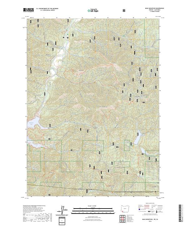
2024 Map of Mule Mountain
USGS Topo · Published 2024About this map
Rogue River National Forest spans this high-elevation landscape along the border of Jackson and Siskiyou counties. The topography is defined by the significant reach of Applegate Lake, including Mulligan Bay and the northern flow of the Applegate River. The area is a network of named drainages and ridges, where Mule Mtn and Little Grayback Mtn stand as prominent landmarks.
Find a feature on this map
66 named features on this map. Tap any name to fly to it.
Don’t see what you’re looking for? This feature index may not catch every label — zoom into the map to look around manually.
Map Details
Editions of this 2024 Mule Mountain Map
This is the sole edition of this map. No revisions or reprints were ever made.
Other maps of this area

1886 · Shasta
USGS Topo · 1:250,000

1891 · Ashland
USGS Topo · 1:250,000

1893 · Ashland
USGS Topo · 1:250,000

1894 · Shasta
USGS Topo · 1:250,000

1897 · Ashland
USGS Topo · 1:250,000

1908 · Grants Pass
USGS Topo · 1:125,000

1914 · Seiad
USGS Topo · 1:125,000

1922 · Seiad
USGS Topo · 1:125,000

1932 · Yreka
USGS Topo · 1:96,000

1938 · Medford
USGS Topo · 1:125,000