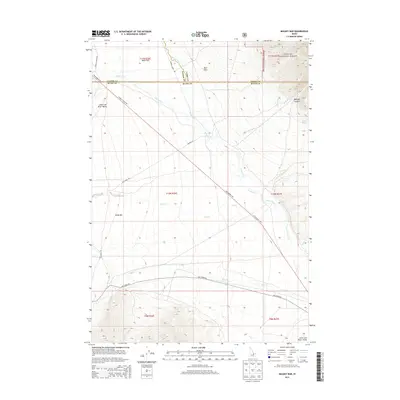
2013 Map of Mulkey Bar
USGS Topo · Published 2013About this map
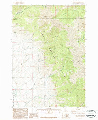
Little Lost River Valley provides a clear perspective of this high-desert drainage where the Little Lost River meets several significant mountain tributaries. The map shows a landscape defined by alluvial bars and flatlands, most notably Mulkey Bar and the higher-elevation Mud Flats and Deer Flats. These level reaches served as critical anchor points for transportation in a region otherwise dominated by steep terrain, as evidenced by the convergence of the Little Lost Hwy, Pahsimeroi Rd, and Summit Creek Rd.
Find a feature on this map
34 named features on this map. Tap any name to fly to it.
Don’t see what you’re looking for? This feature index may not catch every label — zoom into the map to look around manually.
Map Details
Editions of this 2013 Mulkey Bar Map
This is the sole edition of this map. No revisions or reprints were ever made.
Other maps of this area

1955 · Dubois
USGS Topo · 1:250,000

1956 · Nicholia
USGS Topo · 1:62,500

1957 · Diamond Peak
USGS Topo · 1:62,500

1957 · Gilmore
USGS Topo · 1:62,500

1957 · Hawley Mountain
USGS Topo · 1:62,500

1958 · Dubois
USGS Topo · 1:250,000
1987 · Mulkey Bar
USGS Topo · 1:24,000
1987 · Hawley Mountain
USGS Topo · 1:24,000
1987 · Warren Mountain
USGS Topo · 1:24,000
1987 · Bell Mountain
USGS Topo · 1:24,000