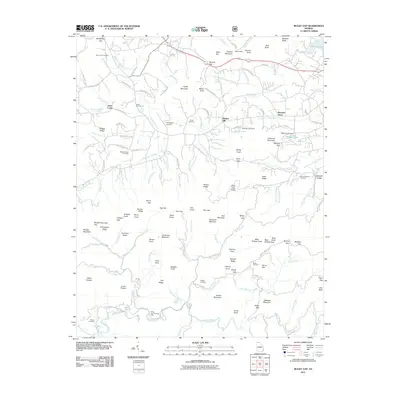
2011 Map of Mulky Gap
USGS Topo · Published 2011About this map
Bunker Hill sits within a landscape defined by the Blue Ridge mountains and an intricate network of highland gaps. This 2011 survey documents a region where local geography is marked by family-named heights and clearings, from Queens Mountain in the north to Yellow Mountain in the south. The settlement pattern is characterized by scattered homesteads along routes like Jones Creek Rd N and Young Cane Creek Rd, with social life centered around local burial grounds including Philadelphia Cemetery and Dillard Chapel Cemetery.
Find a feature on this map
152 named features on this map. Tap any name to fly to it.
Don’t see what you’re looking for? This feature index may not catch every label — zoom into the map to look around manually.
Map Details
Editions of this 2011 Mulky Gap Map
This is the sole edition of this map. No revisions or reprints were ever made.
Other maps of this area

1886 · Dahlonega
USGS Topo · 1:125,000

1888 · Ellijay
USGS Topo · 1:125,000

1892 · Dahlonega
USGS Topo · 1:125,000

1892 · Ellijay
USGS Topo · 1:125,000

1896 · Dahlonega
USGS Topo · 1:125,000

1898 · Ellijay
USGS Topo · 1:125,000

1903 · Dahlonega
USGS Topo · 1:125,000

1911 · Ellijay
USGS Topo · 1:125,000

1935 · Coosa Bald
USGS Topo · 1:24,000

1935 · Ivylog
USGS Topo · 1:24,000