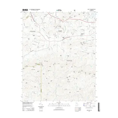
2014 Map of Mulky Gap
USGS Topo · Published 2014About this map
Chattahoochee National Forest dominates this landscape along the border of Fannin and Union Counties, where the ridgelines of Duncan Ridge and Chinquapin Ridge define the steep drainage basins of the Blue Ridge. The northern sector shows a transition from mountain wilderness to more settled valleys, notably around Pleasant Grove and the eastern approach to the Blairsville Airport. A significant military presence is marked by Camp Frank D. Merrill, Dahlonega, situated among high-elevation features like Bunker Hill and Youngcane Creek.
Find a feature on this map
185 named features on this map. Tap any name to fly to it.
Don’t see what you’re looking for? This feature index may not catch every label — zoom into the map to look around manually.
Map Details
Editions of this 2014 Mulky Gap Map
This is the sole edition of this map. No revisions or reprints were ever made.
Other maps of this area

1886 · Dahlonega
USGS Topo · 1:125,000

1888 · Ellijay
USGS Topo · 1:125,000

1892 · Dahlonega
USGS Topo · 1:125,000

1892 · Ellijay
USGS Topo · 1:125,000

1896 · Dahlonega
USGS Topo · 1:125,000

1898 · Ellijay
USGS Topo · 1:125,000

1903 · Dahlonega
USGS Topo · 1:125,000

1911 · Ellijay
USGS Topo · 1:125,000

1935 · Coosa Bald
USGS Topo · 1:24,000

1935 · Ivylog
USGS Topo · 1:24,000