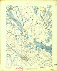
1890 Map of Mullica
USGS Topo · Published 1890About this map
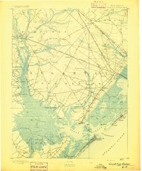
Batsto and Pleasant Mills sit at the geographic center of this late 19th-century survey, illustrating the industrial water-power network of the Mullica valley. The Mullica River and its numerous tributaries, including the Wading River and Nescochaque Creek, define a landscape of cedar swamps and wetlands like the Great Swamp. This era of the New Jersey Pine Barrens was characterized by remote river settlements and iron-works villages, many of which are captured here before their mid-20th century transitions.
Find a feature on this map
67 named features on this map. Tap any name to fly to it.
Don’t see what you’re looking for? This feature index may not catch every label — zoom into the map to look around manually.
Map Details
Editions of this 1890 Mullica Map
This is the sole edition of this map. No revisions or reprints were ever made.
Other maps of this area
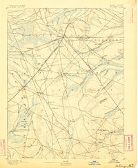
1884 · Whitings
USGS Topo · 1:62,500
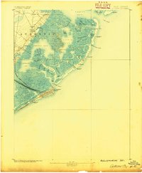
1887 · Atlantic City
USGS Topo · 1:62,500
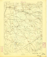
1888 · Pemberton
USGS Topo · 1:62,500
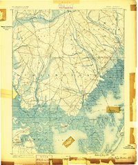
1888 · Little Egg Harbor
USGS Topo · 1:62,500

1888 · Mount Holly
USGS Topo · 1:62,500
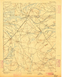
1888 · Whitings
USGS Topo · 1:62,500
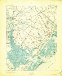
1890 · Great Egg Harbor
USGS Topo · 1:62,500

1890 · Hammonton
USGS Topo · 1:62,500
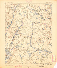
1890 · Tuckahoe
USGS Topo · 1:62,500
1893 · Great Egg Harbor
USGS Topo · 1:62,500