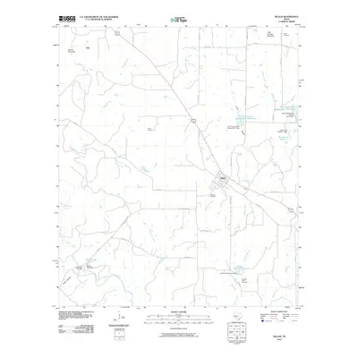
2010 Map of Mullin
USGS Topo · Published 2010About this map
Mullin stands at the heart of this Mills County landscape, where the local road network converges near the banks of Mullin Creek. The terrain is defined by the winding course of Pecan Bayou to the south and prominent elevations like Round Mountain and Little Pompey Mountain to the north. For genealogists and local historians, the presence of several family-named and community burial grounds, including Fisher Cemetery, Oakview Cemetery, and Williams Ranch Cemetery, provides vital links to the area's early settlement patterns.
Find a feature on this map
53 named features on this map. Tap any name to fly to it.
Don’t see what you’re looking for? This feature index may not catch every label — zoom into the map to look around manually.
Map Details
Editions of this 2010 Mullin Map
This is the sole edition of this map. No revisions or reprints were ever made.
Other maps of this area

1885 · San Saba
USGS Topo · 1:125,000

1889 · Brownwood
USGS Topo · 1:125,000

1894 · Brownwood
USGS Topo · 1:125,000

1894 · San Saba
USGS Topo · 1:125,000

1925 · San Saba 2-a
USGS Topo · 1:48,000

1925 · Brownwood 3-d
USGS Topo · 1:48,000

1925 · San Saba 1-b
USGS Topo · 1:48,000

1925 · Brownwood 4-c
USGS Topo · 1:48,000

1928 · Zephyr
USGS Topo · 1:62,500

1928 · Goldthwaite
USGS Topo · 1:62,500