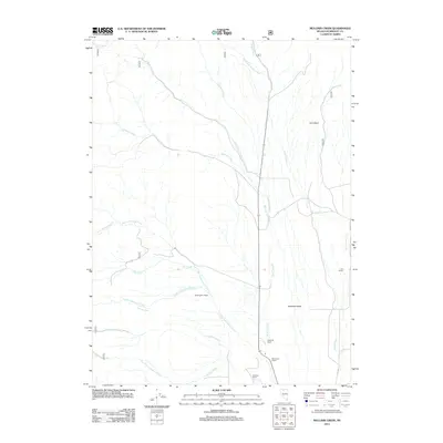
2011 Map of Mullinix Creek
USGS Topo · Published 2011About this map
Paradise Valley serves as the focal point for this section of Humboldt County, where the desert landscape is defined by an intricate network of drainage systems. The water economy of the region is evident in the way Big Cottonwood Creek and Mullinix Creek converge and flow toward the valley floor, supporting several established homesteads. Notable local landholdings include the Buckingham Ranch and Pasquale Ranch, which sit along these primary watercourses. Further south, the Reconzone Ranch and Schwartz Ranch are situated near the banks of Hanson Creek, illustrating the historical reliance on these seasonal flows for ranching operations. To the north, the terrain rises toward Tom Basin, while various forks like Solid Silver Creek and South Fork Indian Creek carve through the high ground before reaching the valley.
Find a feature on this map
20 named features on this map. Tap any name to fly to it.
Don’t see what you’re looking for? This feature index may not catch every label — zoom into the map to look around manually.
Map Details
Editions of this 2011 Mullinix Creek Map
This is the sole edition of this map. No revisions or reprints were ever made.
Other maps of this area

1882 · Paradise
USGS Topo · 1:250,000

1893 · Paradise
USGS Topo · 1:250,000

1945 · Hot Springs
USGS Topo · 1:62,500

1947 · Hot Springs Peak
USGS Topo · 1:62,500

1955 · McDermitt
USGS Topo · 1:250,000

1958 · Paradise Valley
USGS Topo · 1:62,500

1959 · McDermitt
USGS Topo · 1:250,000

1959 · Hinkey Summit
USGS Topo · 1:62,500

1980 · Black Ridge
USGS Topo · 1:24,000

1980 · Spring City
USGS Topo · 1:24,000